
le Mont Luisandre de saint Rambert en Bugey
- Mis à jour le 14/04/2018
- Identifiant 276555
Sélectionner le fond de carte

PLAN IGN

PHOTOS AERIENNES

CARTES IGN MULTI-ECHELLES

TOP 25 IGN

CARTES DES PENTES

PARCELLES CADASTRALES

CARTES OACI

CARTES 1950 IGN

CARTE DE L’ETAT-MAJOR (1820-1866)

Open Street Map
Afficher les points d'intérêt à proximité
Hébergements
Informations
Lieux d'intérêts
Producteurs
Restauration
Services et Commerces
Autre
Echelle
|
durée / niveau
Rando pédestre
|
distance
14,0 km
type parcours
Boucle
|
|||||||||
|
Lieu de départ
4 pl des anciens combattants
01230 Saint-Rambert-en-Bugey |
accessibilite
|
|||||||||
|
prestations payantes
Non
|
type(s) de sol
Bitume
Graviers Terre Herbe |
|||||||||
description
saint Rambert en Bugey ;l abbaye st Domilien ; le mont Luisandre ; le château des Allymes
Au mont Luisandre vue sur le Jura et la vallée de l ain
Au mont Luisandre vue sur le Jura et la vallée de l ain
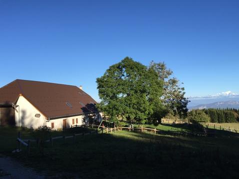
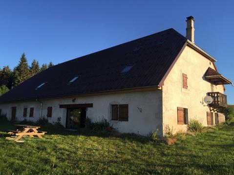
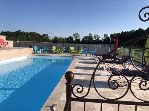
Hébergements à proximité

notes, commentaires & photos (1)
Nathalie
le 22/07/2024 à 11:45

