
circuit départ Camping les noyers
- Thématique Balade
- Mis à jour le 27/09/2015
- Identifiant 28705
Sélectionner le fond de carte

PLAN IGN

PHOTOS AERIENNES

CARTES IGN MULTI-ECHELLES

TOP 25 IGN

CARTES DES PENTES

PARCELLES CADASTRALES

CARTES OACI

CARTES 1950 IGN

CARTE DE L’ETAT-MAJOR (1820-1866)

Open Street Map
Afficher les points d'intérêt à proximité
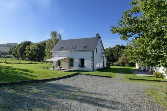
Hébergements
Informations
Lieux d'intérêts
Producteurs
Restauration
Services et Commerces
Autre
Echelle
|
durée / niveau
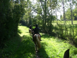
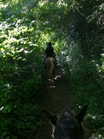
Randonnée/tourisme équestre
|
distance
15,7 km
type parcours
Boucle
|
|||||||||
|
Lieu de départ
61250 Écouves
|
accessibilite
|
|||||||||
|
prestations payantes
Non
|
type(s) de sol
Bitume
Terre |
|||||||||
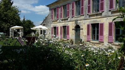
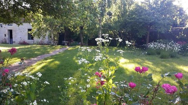
Photos & vidéos (2)
|
|
description
On peut partir depuis le camping - gîte d'Ecouves
Hébergements à proximité

notes, commentaires & photos (1)
Isabelle
le 22/09/2015 à 22:41
On va tester ce WE...je découvre l'application
Isabelle
Note moyenne
Cartes associées
