
Carte hors connexion st paul axat puilaurens quillan bugarach
- Mis à jour le 06/06/2018
- Identifiant 302587
Sélectionner le fond de carte

PLAN IGN

PHOTOS AERIENNES

CARTES IGN MULTI-ECHELLES

TOP 25 IGN

CARTES DES PENTES

PARCELLES CADASTRALES

CARTES OACI

CARTES 1950 IGN

CARTE DE L’ETAT-MAJOR (1820-1866)

Open Street Map
Afficher les points d'intérêt à proximité
Hébergements
Informations
Lieux d'intérêts
Producteurs
Restauration
Services et Commerces
Autre
Echelle
|
durée / niveau
Rando pédestre
|
distance
132,5 km
type parcours
|
|||||||||
|
Lieu de départ
3 bd de l'agly
66220 Saint-Paul-de-Fenouillet |
accessibilite
|
|||||||||
|
prestations payantes
Non
|
type(s) de sol
|
|||||||||
description
Localisation :
communes : Saint-paul-de-fenouillet (66187), Campome (66034), Sournia (66198), Sainte-colombe-sur-guette (11335), Couiza (11103), Camps-sur-l'agly (11065), Quillan (11304), Mosset (66119), Rennes-le-chateau (11309), Catllar (66045), Le vivier (66234), Eus (66074), Belvianes-et-cavirac (11035), Saint-martin (66184), Bugarach (11055), Fourtou (11155), Campoussy (66035), Duilhac-sous-peyrepertuse (11123), Saint-julia-de-bec (11347), Molitg-les-bains (66109), Artigues (11017), Prats-de-sournia (66151), Sougraigne (11381), Counozouls (11104), Axat (11021), Rennes-les-bains (11310), Saint-just-et-le-bezu (11350), Lesquerde (66097), Granes (11168), Soulatge (11384), Urbanya (66219), Saint-martin-lys (11358)
departements : 47, 43
regions : Occitanie
longitude_depart : 2.50214
latitude_depart : 42.8095
Trace gpx : https://ignrando.fr/cirkwi-server/fichier/exportation/gpx/302565/fr_FR.gpx
Image : https://ignrando.fr/cirkwi-server/fichier/image/miniature/302565.jpg
Thématique : THEMATIQUE_MONTAGNE
Types de sol : Bitume
Commodités d'accès :
acces_handicapes : 0
acces_transports_commun : 0
Auteur :
nom : Olivier
avatar : https://ignrando.fr/fr/media/upload/avatar/1970/01/01/00/110/default.png
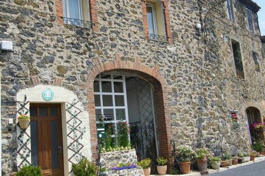
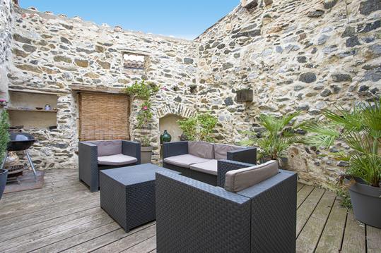
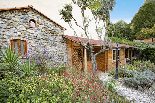
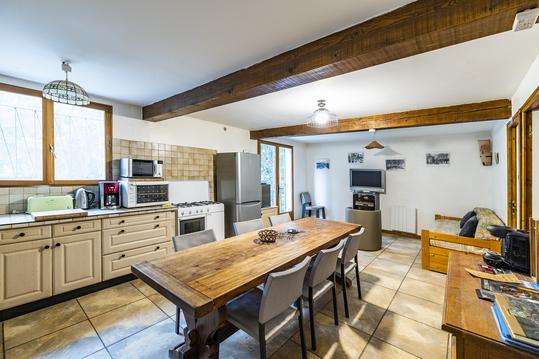
Hébergements à proximité

Olivier
Note moyenne
Cartes associées
