
Départ de Fouillouse - Lac des 9 couleurs - Col de la Gypière
- Thématique Randonnée
- Mis à jour le 11/06/2018
- Identifiant 304559
Sélectionner le fond de carte

PLAN IGN

PHOTOS AERIENNES

CARTES IGN MULTI-ECHELLES

TOP 25 IGN

CARTES DES PENTES

PARCELLES CADASTRALES

CARTES OACI

CARTES 1950 IGN

CARTE DE L’ETAT-MAJOR (1820-1866)

Open Street Map
Afficher les points d'intérêt à proximité
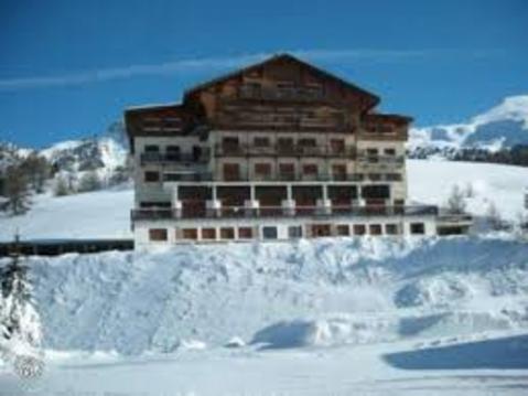
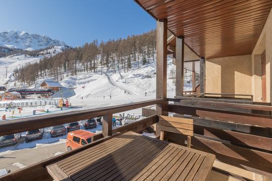
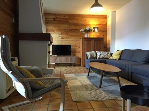
Hébergements
Informations
Lieux d'intérêts
Producteurs
Restauration
Services et Commerces
Autre
Echelle
|
durée / niveau
Rando pédestre
|
distance
17,0 km
type parcours
Aller/Retour
|
|||||||||
|
Lieu de départ
04530 Saint-Paul-sur-Ubaye
|
accessibilite
|
|||||||||
|
prestations payantes
Non
|
type(s) de sol
Graviers
Sable Terre Herbe Rochers |
|||||||||
description
Refuge du Chambeyron, Lac Premier, Lac Long, Lac des Neuf Couleurs, Col de la Gypière.
Hébergements à proximité

Michel
Note moyenne
Cartes associées
