
PREIGNAC -AMS- DES BORDS DE GARONNE AUX RIVES DU CIRON
- Thématique Fluviale
- Mis à jour le 23/06/2021
- Identifiant 313822
Sélectionner le fond de carte

PLAN IGN

PHOTOS AERIENNES

CARTES IGN MULTI-ECHELLES

TOP 25 IGN

CARTES DES PENTES

PARCELLES CADASTRALES

CARTES OACI

CARTES 1950 IGN

CARTE DE L’ETAT-MAJOR (1820-1866)

Open Street Map
Afficher les points d'intérêt à proximité
Hébergements
Informations
Lieux d'intérêts
Producteurs
Restauration
Services et Commerces
Autre
Echelle
|
durée / niveau
Rando pédestre
|
distance
11,6 km
type parcours
Boucle
|
|||||||||
|
Lieu de départ
33210 Preignac
|
accessibilite
|
|||||||||
|
prestations payantes
Non
|
type(s) de sol
Bitume
Terre Herbe |
|||||||||
|
Mots clés
GARONNE, DE, BORDS, RIVES, CIRON
|
||||||||||
Photos & vidéos (3)
|
|
|
description
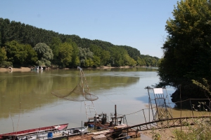
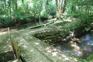
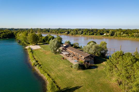
DU FLEUVE A LA RIVIERE : des bords de Garonne aux rives du Ciron. Pont romain et lavoir à Sanche;
Hébergements à proximité


Fraicheur en été.
attention aux moustiques

