
Tour de l'Ardèche 2
- Thématique Randonnée
- Mis à jour le 21/11/2015
- Identifiant 36324
Sélectionner le fond de carte

PLAN IGN

PHOTOS AERIENNES

CARTES IGN MULTI-ECHELLES

TOP 25 IGN

CARTES DES PENTES

PARCELLES CADASTRALES

CARTES OACI

CARTES 1950 IGN

CARTE DE L’ETAT-MAJOR (1820-1866)

Open Street Map
Afficher les points d'intérêt à proximité
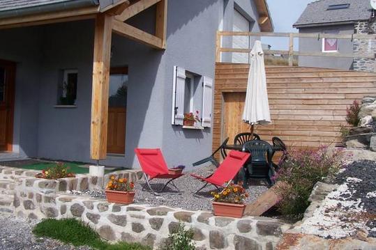
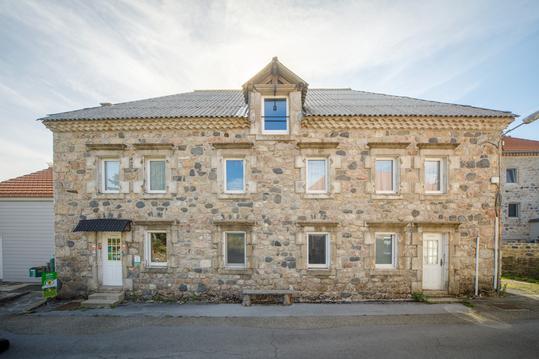
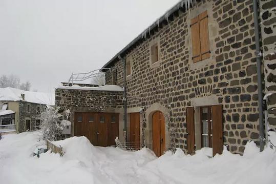
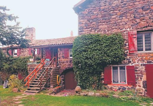
Hébergements
Informations
Lieux d'intérêts
Producteurs
Restauration
Services et Commerces
Autre
Echelle
|
durée / niveau
Rando pédestre
|
distance
25,1 km
type parcours
Aller Simple
|
|||||||||
|
Lieu de départ
07630 Le Béage
|
accessibilite
|
|||||||||
|
prestations payantes
Non
|
type(s) de sol
Terre
|
|||||||||
description
Voir
Hébergements à proximité

Jean-Claude
Note moyenne
Cartes associées

Vous aimerez aussi
Tour du Mézenc - Etape 10 - Villevielle - Fay sur Lignon
Itinérance, road-trip
23.5 km
| par Randoloup |
45.1 km
| par juste nous deux... |