limoux - ninaute-laux
- Mis à jour le 23/05/2023
- Identifiant 36662
Sélectionner le fond de carte

PLAN IGN

PHOTOS AERIENNES

CARTES IGN MULTI-ECHELLES

TOP 25 IGN

CARTES DES PENTES

PARCELLES CADASTRALES

CARTES OACI

CARTES 1950 IGN

CARTE DE L’ETAT-MAJOR (1820-1866)

Open Street Map
Afficher les points d'intérêt à proximité
Hébergements
Informations
Lieux d'intérêts
Producteurs
Restauration
Services et Commerces
Autre
Echelle
|
durée / niveau
Rando pédestre
|
distance
8,6 km
type parcours
Boucle
|
|||||||||
|
Lieu de départ
11300 Limoux
|
accessibilite
|
|||||||||
|
prestations payantes
Non
|
type(s) de sol
Bitume
Terre |
|||||||||
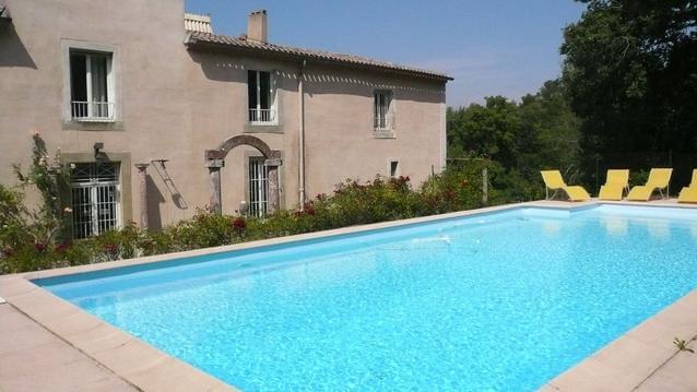
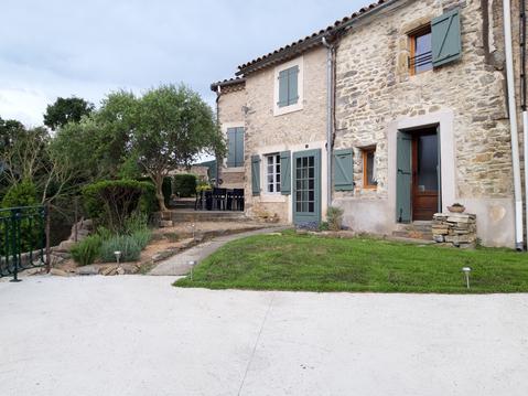
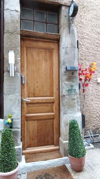
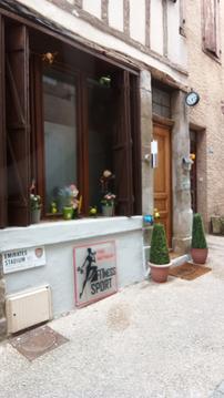
Photos & vidéos (4)
|
|
|
|
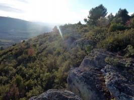
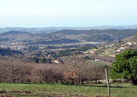
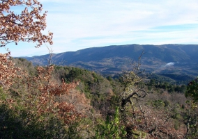
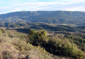
description
10 janvier 2016 - départ du centre aéré. Tout près de Limoux, à la découverte de la végétation méditerranéenne. Passez à l'aire de pique-nique, rejoignez la route et montez une piste assez pentue. La vue est dégagée sur la plaine limouxoise.