
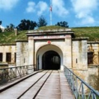
Circuit d'Uxegney
- Thématique Balade
- Mis à jour le 10/12/2015
- Identifiant 36877
Sélectionner le fond de carte

PLAN IGN

PHOTOS AERIENNES

CARTES IGN MULTI-ECHELLES

TOP 25 IGN

CARTES DES PENTES

PARCELLES CADASTRALES

CARTES OACI

CARTES 1950 IGN

CARTE DE L’ETAT-MAJOR (1820-1866)

Open Street Map
Afficher les points d'intérêt à proximité
Hébergements
Informations
Lieux d'intérêts
Producteurs
Restauration
Services et Commerces
Autre
Echelle
|
durée / niveau
Rando pédestre
|
distance
12,8 km
type parcours
Boucle
|
|||||||||
|
Lieu de départ
88390 Uxegney
|
accessibilite
|
|||||||||
|
prestations payantes
Non
|
type(s) de sol
Bitume
Terre Herbe |
|||||||||
Photos & vidéos (1)
|
description
Depuis le fort d'Uxegney partez à la découverte des villages de Domèvre-sur-Aviéres, Uxegney et Fomerey en passant par le Bois l'Abbé. Un circuit de 13 km au cœur de la forêt vosgienne.
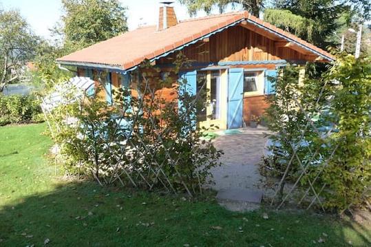
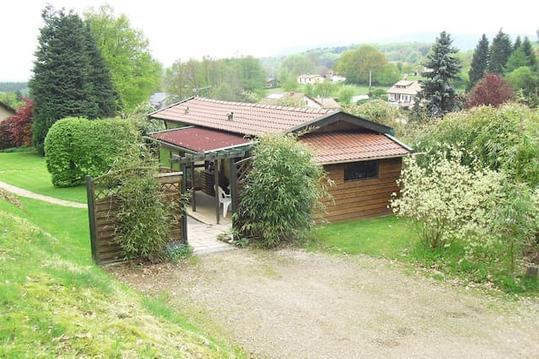
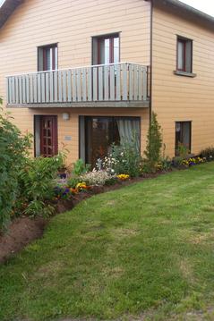
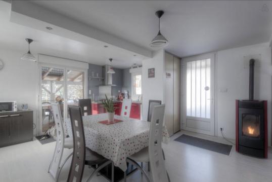
Hébergements à proximité


notes, commentaires & photos (1)
Rémy
le 21/07/2019 à 17:47

