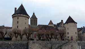
Tour Parc Naturel Regional Millevaches en Limousin Etape 01. Boucle Au départ de Bourganeuf
- Thématique Découverte
- Mis à jour le 27/04/2019
- Identifiant 399488
Sélectionner le fond de carte

PLAN IGN

PHOTOS AERIENNES

CARTES IGN MULTI-ECHELLES

TOP 25 IGN

CARTES DES PENTES

PARCELLES CADASTRALES

CARTES OACI

CARTES 1950 IGN

CARTE DE L’ETAT-MAJOR (1820-1866)

Open Street Map
Afficher les points d'intérêt à proximité
Hébergements
Informations
Lieux d'intérêts
Producteurs
Restauration
Services et Commerces
Autre
Echelle
|
durée / niveau
Rando pédestre
|
distance
13,0 km
type parcours
Boucle
|
|||||||||
|
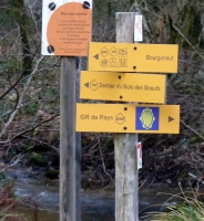
Lieu de départ
1 pl du champ de foire
23400 Bourganeuf |
accessibilite
|
|||||||||
|
prestations payantes
Non
|
type(s) de sol
Bitume
Graviers Herbe Rochers |
|||||||||
|
Mots clés
Creuse
|
||||||||||
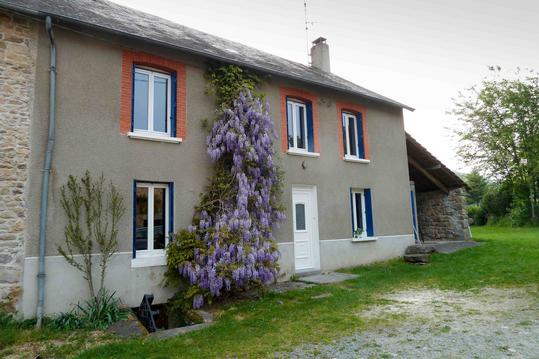
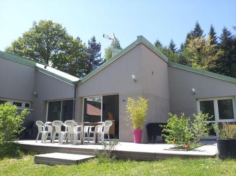
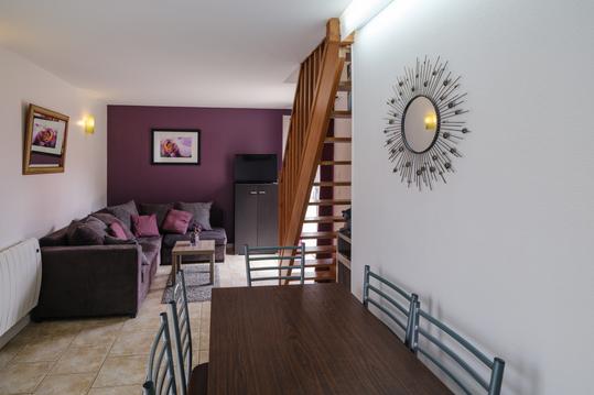
Photos & vidéos (4)
|
|
|
|
description
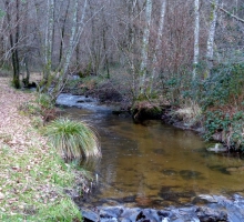
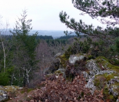
Départ Bourganeuf, aire de camping car au pied du chateau. Ballade très ombragée en été. Découverte des Roches de Mazuras, de la forêt de Faux-Mazuras et de ses alentours.