
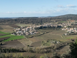
Le volcan du Ceressou (et le volcan de Baumes, Caux) à Fontès
- Thématique Randonnée
- Mis à jour le 07/08/2017
- Identifiant 44534


|
durée / niveau
Rando pédestre
|
distance
11,4 km
type parcours
Boucle
|
|||||||||
|
Lieu de départ
33 bd jules ferry
34320 Fontès |
accessibilite
|
|||||||||
|
prestations payantes
Non
|
type(s) de sol
Terre
|
|||||||||
|
Mots clés
Volcan, Ceressou, Baumes, Fontès, Caux, Hérault
|
||||||||||
Photos & vidéos (1)
|
description
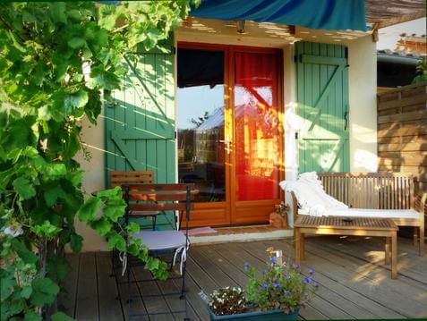
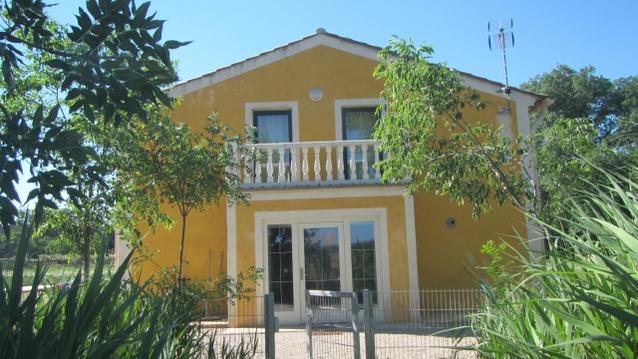
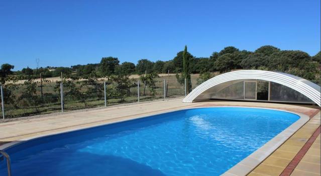
Hébergements à proximité
Le jardin du causse
Maison citron
Maison Orange
Joli Studio au bord de la rivière - Studio abricot
Gîte spacieux au bord de la rivière-Maison abricot
Chalet privative, pleins de charme, bien equippé
MANOIR AVEC JARDINS DU XVIIIème SIECLE LANGUEDOC
Studio privé, AVEC CLIM, PISCINE CHAUFEE+ jacuzzi.

Maxime
Cartes associées
