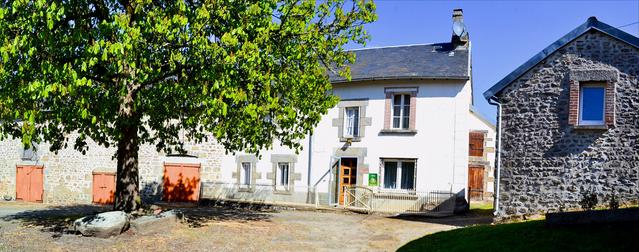
le Verminier carte 2230 SB kaart 8 Lavaveix ( coor : 45 53 37.1 /// 2 08 55.4 )
- Mis à jour le 07/11/2019
- Identifiant 470785
Sélectionner le fond de carte

PLAN IGN

PHOTOS AERIENNES

CARTES IGN MULTI-ECHELLES

TOP 25 IGN

CARTES DES PENTES

PARCELLES CADASTRALES

CARTES OACI

CARTES 1950 IGN

CARTE DE L’ETAT-MAJOR (1820-1866)

Open Street Map
Afficher les points d'intérêt à proximité
Hébergements
Informations
Lieux d'intérêts
Producteurs
Restauration
Services et Commerces
Autre
Echelle
|
durée / niveau
Rando pédestre
|
distance
9,2 km
type parcours
Boucle
|
|||||||||
|
Lieu de départ
7 le verminier
23500 Saint-Quentin-la-Chabanne |
accessibilite
|
|||||||||
|
prestations payantes
Non
|
type(s) de sol
Bitume
Terre |
|||||||||
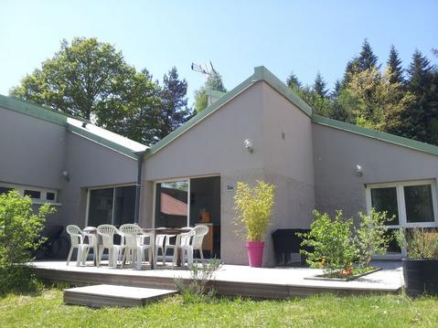
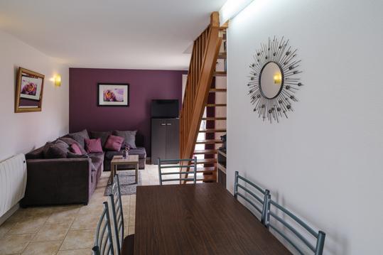
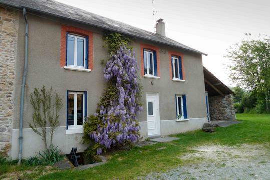
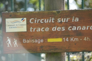
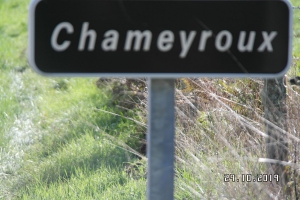
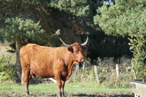
Photos & vidéos (3)
|
|
|
description
Part of Pr La trace de canards ( rando millevache ) follow yellow. start le Verminier ==> Chambroutiere ==> D 32 ==> le Bichaud ==> Chameyroux ==> start