
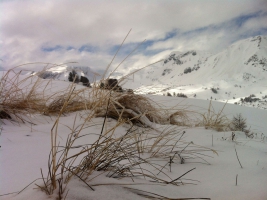
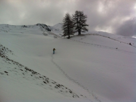
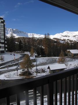
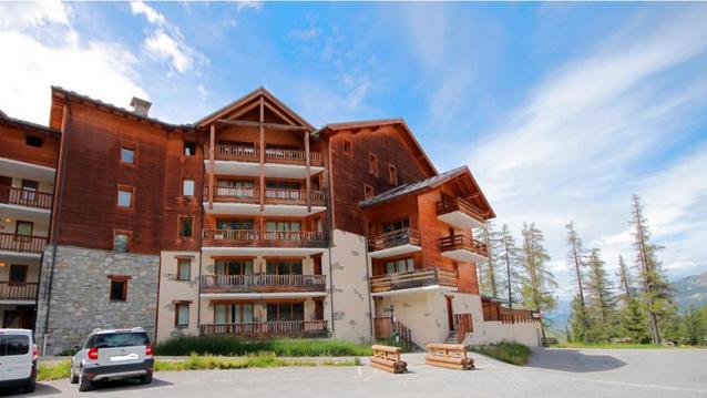
Vars : trace cabanes des prises.
- Thématique Balade
- Mis à jour le 21/08/2017
- Identifiant 47874
Sélectionner le fond de carte

PLAN IGN

PHOTOS AERIENNES

CARTES IGN MULTI-ECHELLES

TOP 25 IGN

CARTES DES PENTES

PARCELLES CADASTRALES

CARTES OACI

CARTES 1950 IGN

CARTE DE L’ETAT-MAJOR (1820-1866)

Open Street Map
Afficher les points d'intérêt à proximité
Hébergements
Informations
Lieux d'intérêts
Producteurs
Restauration
Services et Commerces
Autre
Echelle
|
durée / niveau
Rando pédestre
|
distance
4,6 km
type parcours
Aller/Retour
|
|||||||||
|
Lieu de départ
05560 Vars
|
accessibilite
|
|||||||||
|
prestations payantes
Non
|
type(s) de sol
Herbe
Neige |
|||||||||
Photos & vidéos (2)
|
|
description
Petit itinéraire en raquettes ou a pieds au départ du refuge Napoleon en aller-retour jusqu'à la cabane ou en boucle en retournant par les pentes du Paneyron
Hébergements à proximité


notes, commentaires & photos (1)
Charles
le 09/04/2016 à 14:51
