
Etape 3 : De Chabreloche à Saint-Aubin-sur-Loire
- Mis à jour le 11/03/2016
- Identifiant 49293
Sélectionner le fond de carte

PLAN IGN

PHOTOS AERIENNES

CARTES IGN MULTI-ECHELLES

TOP 25 IGN

CARTES DES PENTES

PARCELLES CADASTRALES

CARTES OACI

CARTES 1950 IGN

CARTE DE L’ETAT-MAJOR (1820-1866)

Open Street Map
Afficher les points d'intérêt à proximité
Hébergements
Informations
Lieux d'intérêts
Producteurs
Restauration
Services et Commerces
Autre
Echelle
|
durée / niveau
Rando pédestre
|
distance
110,4 km
type parcours
Aller Simple
|
|||||||||
|
Lieu de départ
17 r du groupe scolaire
63250 Chabreloche |
accessibilite
|
|||||||||
|
prestations payantes
Non
|
type(s) de sol
Bitume
Graviers Sable Terre Herbe Rochers |
|||||||||
description
Etapes : Lavoine, Saint-Clément, Coindre, Charguéraud, Moutet, Montmorillon, Arfeuilles, Bruyère, Châtelus, Tremblay, Quirielle, Les Godets, Bert, Montcombroux-les-Mines, Le Seu, La Font des Crues, Les Gouttes Pommier, La Varenne, Saint-Denis, Villenaud, Diou et La Brosse
Hébergements à proximité
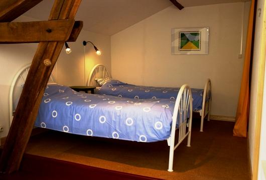
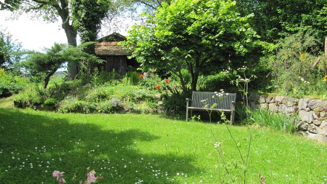
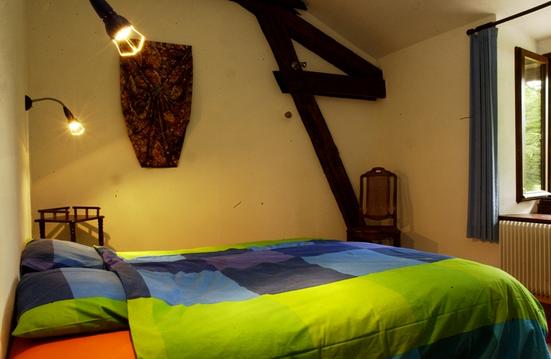
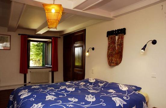

David
Note moyenne
Cartes associées

