
Précieux au Pic de St-Romain par canal du Forez
- Thématique Randonnée
- Mis à jour le 11/07/2019
- Identifiant 543184
Sélectionner le fond de carte

PLAN IGN

PHOTOS AERIENNES

CARTES IGN MULTI-ECHELLES

TOP 25 IGN

CARTES DES PENTES

PARCELLES CADASTRALES

CARTES OACI

CARTES 1950 IGN

CARTE DE L’ETAT-MAJOR (1820-1866)

Open Street Map
Afficher les points d'intérêt à proximité
Hébergements
Informations
Lieux d'intérêts
Producteurs
Restauration
Services et Commerces
Autre
Echelle
|
durée / niveau
VTT
|
distance
22,7 km
type parcours
Boucle
|
|||||||||
|
Lieu de départ
203 rte d'azieux
42600 Précieux |
accessibilite
|
|||||||||
|
prestations payantes
Non
|
type(s) de sol
Bitume
Graviers Terre |
|||||||||
description
Départ de Précieux jusqu'au Pic de St-Romain en passant par l'étang des Sauzées et le canal du Forez.
Retour par le canal du Forez,les tourettes et les bichaizons.
Retour par le canal du Forez,les tourettes et les bichaizons.
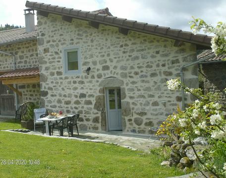
Hébergements à proximité

Manu
Note moyenne
Cartes associées

Vous aimerez aussi
80.4 km
| par Rhône - MaRando - FFRandonnée |