
lac de Séchemaille au Mont Bessou
- Mis à jour le 15/07/2019
- Identifiant 547252
Sélectionner le fond de carte

PLAN IGN

PHOTOS AERIENNES

CARTES IGN MULTI-ECHELLES

TOP 25 IGN

CARTES DES PENTES

PARCELLES CADASTRALES

CARTES OACI

CARTES 1950 IGN

CARTE DE L’ETAT-MAJOR (1820-1866)

Open Street Map
Afficher les points d'intérêt à proximité
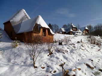
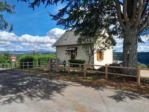
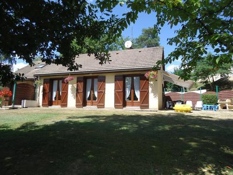
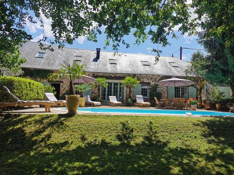
Hébergements
Informations
Lieux d'intérêts
Producteurs
Restauration
Services et Commerces
Autre
Echelle
|
durée / niveau
Rando pédestre
|
distance
22,5 km
type parcours
Boucle
|
|||||||||
|
Lieu de départ
19250 Ambrugeat
|
accessibilite
|
|||||||||
|
prestations payantes
Non
|
type(s) de sol
|
|||||||||
Hébergements à proximité

infos parcours (21)
1
Parking du village vacances de Meymac
Informations complémentaires
kilomètre
0,01
latitude
45.5241
altitude
639
m
longitude
2.12985
2
Parking du village vacances de Meymac
Informations complémentaires
kilomètre
0,01
latitude
45.5241
altitude
639
m
longitude
2.12986
3
Lac de Séchemaille
Informations complémentaires
kilomètre
0,13
latitude
45.523
altitude
631
m
longitude
2.12902
4
Passerelle
Informations complémentaires
kilomètre
1,15
latitude
45.5291
altitude
630
m
longitude
2.12208
5
D76
Informations complémentaires
kilomètre
1,39
latitude
45.5288
altitude
636
m
longitude
2.11956
6
Jonction GR 440
Informations complémentaires
kilomètre
2,39
latitude
45.5374
altitude
647
m
longitude
2.11741
7
Chemin des Farges
Informations complémentaires
kilomètre
3,15
latitude
45.5418
altitude
684
m
longitude
2.11009
8
Le Moulin des Farges
Informations complémentaires
kilomètre
3,91
latitude
45.5473
altitude
667
m
longitude
2.11312
9
D109
Informations complémentaires
kilomètre
4,23
latitude
45.5498
altitude
692
m
longitude
2.11386
10
Le Bourg
Informations complémentaires
kilomètre
6,07
latitude
45.5654
altitude
776
m
longitude
2.11036
11
Le Cloup
Informations complémentaires
kilomètre
6,69
latitude
45.5616
altitude
747
m
longitude
2.10515
12
D979 E3
Informations complémentaires
kilomètre
7,60
latitude
45.5684
altitude
858
m
longitude
2.09858
13
D979
Informations complémentaires
kilomètre
8,53
latitude
45.5758
altitude
917
m
longitude
2.09406
14
Près des sources de La Vézère
Informations complémentaires
kilomètre
10,50
latitude
45.5876
altitude
884
m
longitude
2.10135
15
Carrefour de sentier
Informations complémentaires
kilomètre
11,22
latitude
45.5868
altitude
951
m
longitude
2.11015
16
Croisement D979
Informations complémentaires
kilomètre
12,37
latitude
45.578
altitude
939
m
longitude
2.10665
17
Sentier pédagogique sur les champignons
Informations complémentaires
kilomètre
14,24
latitude
45.5704
altitude
952
m
longitude
2.1255
18
Tour panoramique
Informations complémentaires
kilomètre
14,48
latitude
45.5691
altitude
962
m
longitude
2.1244
19
Lavaur
Informations complémentaires
kilomètre
17,23
latitude
45.5508
altitude
740
m
longitude
2.13086
20
Voie ferrée
Informations complémentaires
kilomètre
18,11
latitude
45.5442
altitude
705
m
longitude
2.12606
21
GR440
Informations complémentaires
kilomètre
19,08
latitude
45.5366
altitude
646
m
longitude
2.12023
m
Note moyenne
Cartes associées
