
La Route des Chaumières au départ de Bouquelon
- Mis à jour le 31/07/2019
- Identifiant 556265
Sélectionner le fond de carte

PLAN IGN

PHOTOS AERIENNES

CARTES IGN MULTI-ECHELLES

TOP 25 IGN

CARTES DES PENTES

PARCELLES CADASTRALES

CARTES OACI

CARTES 1950 IGN

CARTE DE L’ETAT-MAJOR (1820-1866)

Open Street Map
Afficher les points d'intérêt à proximité
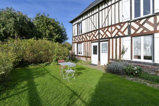
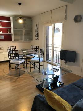
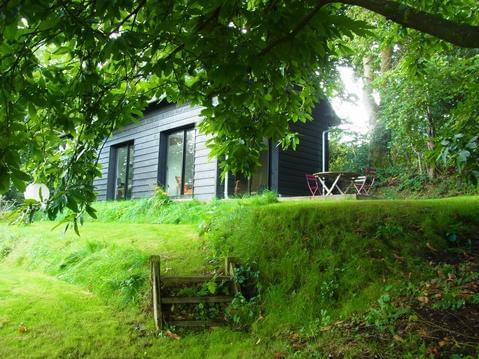
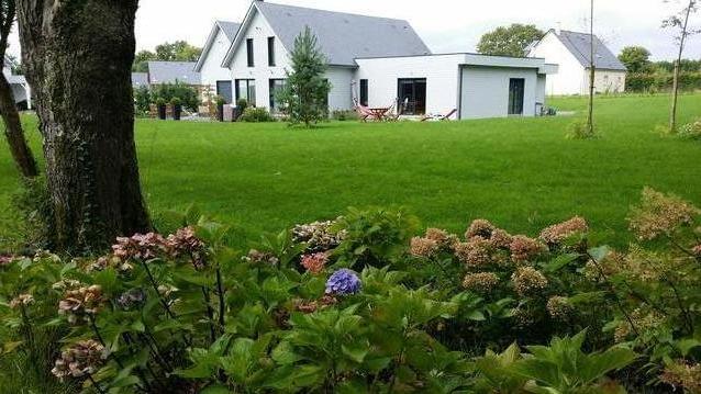
Hébergements
Informations
Lieux d'intérêts
Producteurs
Restauration
Services et Commerces
Autre
Echelle
|
durée / niveau
Rando pédestre
|
distance
13,3 km
type parcours
Boucle
|
|||||||||
|
Lieu de départ
25 pl de l'eglise
27500 Bouquelon |
accessibilite
|
|||||||||
|
prestations payantes
Non
|
type(s) de sol
Bitume
Graviers Terre Herbe Rochers |
|||||||||
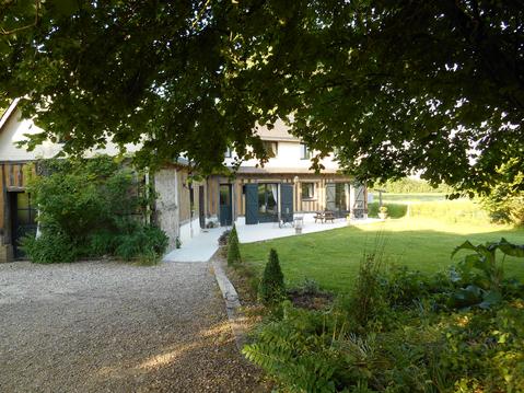
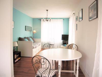
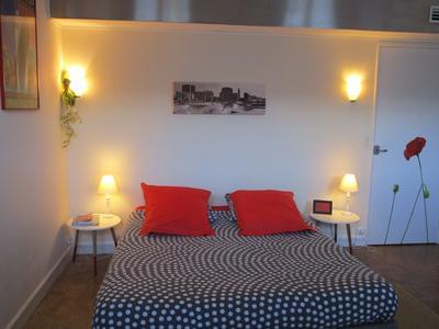
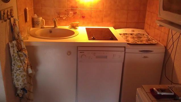
Hébergements à proximité

infos parcours (12)
1
Parking de l'église
Informations complémentaires
kilomètre
0,00
latitude
49.396
altitude
110
m
longitude
0.490602
2
Parking de l'église
Informations complémentaires
kilomètre
0,00
latitude
49.396
altitude
110
m
longitude
0.490591
3
Traverser la route
Informations complémentaires
kilomètre
2,63
latitude
49.4052
altitude
47
m
longitude
0.52301
4
Embranchement, obliquer à gauche
Informations complémentaires
kilomètre
2,91
latitude
49.4067
altitude
27
m
longitude
0.526227
5
Le Bout d'Amon, fourche, prendre à droite
Informations complémentaires
kilomètre
5,88
latitude
49.4007
altitude
4
m
longitude
0.489299
6
Tourner à gauche
Informations complémentaires
kilomètre
7,10
latitude
49.4039
altitude
4
m
longitude
0.473556
7
Croisement en Y, prendre chemin à gauche
Informations complémentaires
kilomètre
7,37
latitude
49.404
altitude
20
m
longitude
0.470319
8
D90, traverser, continuer en face
Informations complémentaires
kilomètre
8,09
latitude
49.3987
altitude
114
m
longitude
0.475709
9
Quitter la route bifurquer à gauche dans le chemin
Informations complémentaires
kilomètre
9,02
latitude
49.3906
altitude
83
m
longitude
0.474863
10
Bois du Plessis, embranchement, prendre à gauche
Informations complémentaires
kilomètre
10,42
latitude
49.3796
altitude
75
m
longitude
0.480635
11
Patte d'oie, prendre chemin à gauche
Informations complémentaires
kilomètre
11,43
latitude
49.3823
altitude
34
m
longitude
0.492072
12
Tourner à gauche
Informations complémentaires
kilomètre
12,37
latitude
49.3895
altitude
118
m
longitude
0.493284
Charles
Note moyenne
Cartes associées
