
Compostelle Alsace de Brumath à Strasbourg
- Thématique Culturel
- Mis à jour le 22/08/2019
- Identifiant 571203


|
durée / niveau
Rando pédestre
|
distance
21,9 km
type parcours
Aller Simple
|
|||||||||
|
Lieu de départ
3 gr de l eglise
67170 Brumath |
accessibilite
|
|||||||||
|
prestations payantes
Non
|
type(s) de sol
Bitume
Graviers Terre Herbe |
|||||||||
Hébergements à proximité
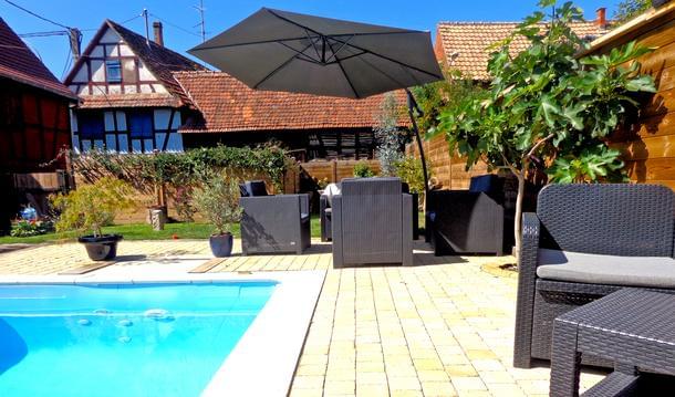
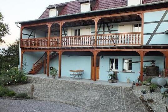
gite de la cour pavée
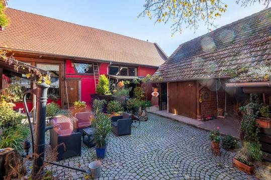
Au cœur d'un village alsacien corps de ferme
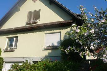
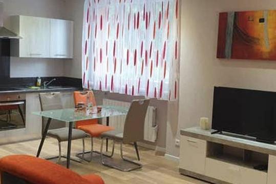
Appartement de vacances en Alsace
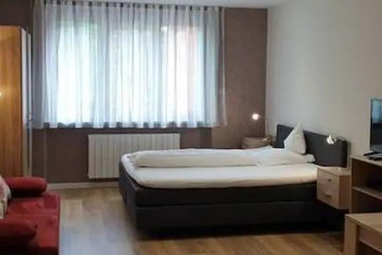
Meublé de Tourisme 3***à Niederbronn-les-Bs N°3
Meublé de Tourisme 3*** à Niederbronn-les-Bs N°2

Gîte de Charme 4/6 Personnes Alsace
Gîte de Charme 2/4 Personnes Alsace
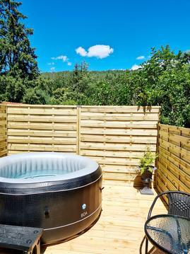
Gîte Le Bijou *** & SPA


