
nyons marche laurence
- Mis à jour le 26/10/2019
- Identifiant 601477
Sélectionner le fond de carte

PLAN IGN

PHOTOS AERIENNES

CARTES IGN MULTI-ECHELLES

TOP 25 IGN

CARTES DES PENTES

PARCELLES CADASTRALES

CARTES OACI

CARTES 1950 IGN

CARTE DE L’ETAT-MAJOR (1820-1866)

Open Street Map
Afficher les points d'intérêt à proximité
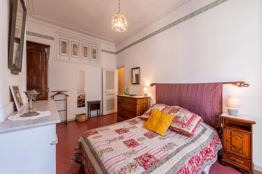
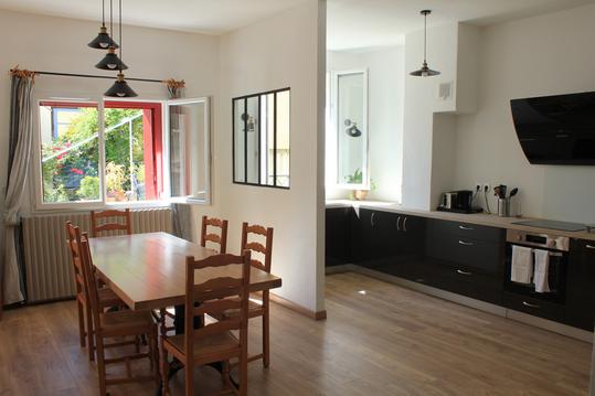
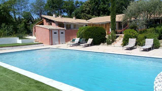
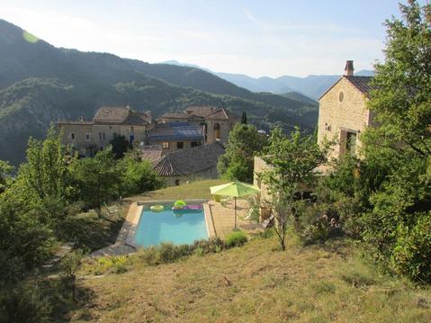
Hébergements
Informations
Lieux d'intérêts
Producteurs
Restauration
Services et Commerces
Autre
Echelle
|
durée / niveau
Rando pédestre
|
distance
16,8 km
type parcours
|
|||||||||
|
Lieu de départ
26110 Nyons
|
accessibilite
|
|||||||||
|
prestations payantes
Non
|
type(s) de sol
|
|||||||||
Hébergements à proximité

infos parcours (15)
1
Parking près du Pont de l'Europe
Informations complémentaires
kilomètre
0,00
latitude
44.3575
altitude
271
m
longitude
5.14128
2
Parking près du Pont de l'Europe
Informations complémentaires
kilomètre
0,00
latitude
44.3575
altitude
271
m
longitude
5.1413
3
Route des Rieux à droite
Informations complémentaires
kilomètre
0,46
latitude
44.3592
altitude
270
m
longitude
5.14592
4
A droite sur large chemin - plein Sud
Informations complémentaires
kilomètre
1,53
latitude
44.3573
altitude
338
m
longitude
5.15495
5
Sentier montant à gauche
Informations complémentaires
kilomètre
2,10
latitude
44.3522
altitude
397
m
longitude
5.15545
6
Tout droit en quittant le GR
Informations complémentaires
kilomètre
3,15
latitude
44.355
altitude
503
m
longitude
5.15804
7
Intersection avec le trajet retour
Informations complémentaires
kilomètre
3,50
latitude
44.3581
altitude
531
m
longitude
5.15891
8
Gros cairn
Informations complémentaires
kilomètre
4,69
latitude
44.3686
altitude
500
m
longitude
5.15998
9
Circuit Bois de lumière
Informations complémentaires
kilomètre
6,53
latitude
44.3528
altitude
747
m
longitude
5.16434
10
Col de la Croix
Informations complémentaires
kilomètre
7,44
latitude
44.3466
altitude
715
m
longitude
5.16381
11
Route de Garde Grosse
Informations complémentaires
kilomètre
8,21
latitude
44.3404
altitude
779
m
longitude
5.16033
12
Garde Grosse
Informations complémentaires
kilomètre
8,82
latitude
44.3368
altitude
943
m
longitude
5.15518
13
Route du Col de La Croix
Informations complémentaires
kilomètre
11,06
latitude
44.3451
altitude
643
m
longitude
5.15871
14
Point de vue
Informations complémentaires
kilomètre
11,65
latitude
44.3464
altitude
579
m
longitude
5.15406
15
Bifurcation à droite
Informations complémentaires
kilomètre
12,72
latitude
44.3523
altitude
542
m
longitude
5.15838
Pierre Olivier
Note moyenne
Cartes associées
