
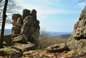
Ardennes - Roc la Tour
- Thématique Historique, patrimoine
- Mis à jour le 29/04/2020
- Identifiant 618156
Sélectionner le fond de carte

PLAN IGN

PHOTOS AERIENNES

CARTES IGN MULTI-ECHELLES

TOP 25 IGN

CARTES DES PENTES

PARCELLES CADASTRALES

CARTES OACI

CARTES 1950 IGN

CARTE DE L’ETAT-MAJOR (1820-1866)

Open Street Map
Afficher les points d'intérêt à proximité
Hébergements
Informations
Lieux d'intérêts
Producteurs
Restauration
Services et Commerces
Autre
Echelle
|
durée / niveau
Rando pédestre
|
distance
9,9 km
type parcours
Aller/Retour
|
|||||||||
|
Lieu de départ
1 che de la croix labonne
08800 Monthermé |
accessibilite
|
|||||||||
|
prestations payantes
Non
|
type(s) de sol
Bitume
Graviers Terre |
|||||||||
|
Mots clés
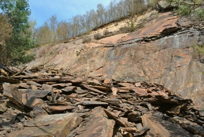
géologie, Ardennes, carrière, schiste, Monthermé, ardoise
|
||||||||||
Photos & vidéos (2)
|
|
description
Un sentier pour longer les anciennes carrières d'ardoises, puis découvrir l'étrange site du Roc la Tour.
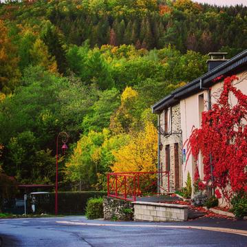
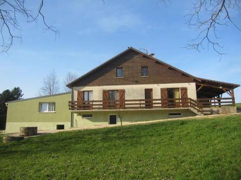
Hébergements à proximité

Points d'interêt (1)
A
08800 Monthermé
Voir la fiche du point d'intéret »
Carrières d'ardoises
Patrimoine industriel
En parcourant le GR12c, les traces du travail des ardoisiers
Informations complémentaires
08800 Monthermé
kilomètre
1,29
latitude
49.8925
altitude
282
m
longitude
4.75738

Des randonnées, des régions
Note moyenne
