
circuit de champ Floux à Vatilieu
- Thématique Balade
- Mis à jour le 20/12/2019
- Identifiant 631063
Sélectionner le fond de carte

PLAN IGN

PHOTOS AERIENNES

CARTES IGN MULTI-ECHELLES

TOP 25 IGN

CARTES DES PENTES

PARCELLES CADASTRALES

CARTES OACI

CARTES 1950 IGN

CARTE DE L’ETAT-MAJOR (1820-1866)

Open Street Map
Afficher les points d'intérêt à proximité
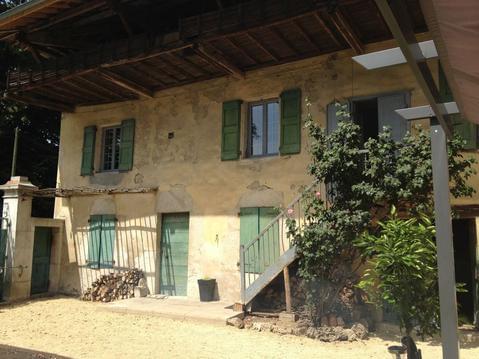
Hébergements
Informations
Lieux d'intérêts
Producteurs
Restauration
Services et Commerces
Autre
Echelle
|
durée / niveau
Rando pédestre
|
distance
10,9 km
type parcours
Boucle
|
|||||||||
|
Lieu de départ
4 le village
38470 Vatilieu |
accessibilite
|
|||||||||
|
prestations payantes
Non
|
type(s) de sol
Terre
|
|||||||||
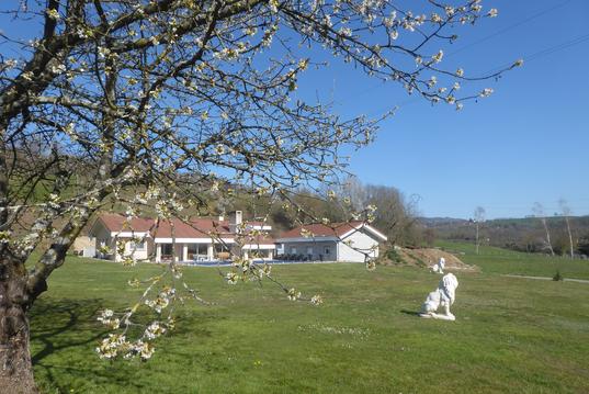
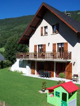
Hébergements à proximité


infos parcours (13)
1
Parking de l'église de Vatilieu
Informations complémentaires
kilomètre
0,00
latitude
45.2559
altitude
577
m
longitude
5.41098
2
Parking de l'église de Vatilieu
Informations complémentaires
kilomètre
0,00
latitude
45.2559
altitude
577
m
longitude
5.41097
3
Près d'une antenne, panneau, Le Tréry à 0,8km
Informations complémentaires
kilomètre
0,28
latitude
45.2561
altitude
559
m
longitude
5.40797
4
Panneau "Le Tréry - Alt. 457m"
Informations complémentaires
kilomètre
0,98
latitude
45.2599
altitude
465
m
longitude
5.40764
5
Panneau "L'Egala - 441m"
Informations complémentaires
kilomètre
1,58
latitude
45.2569
altitude
442
m
longitude
5.40204
6
Panneau en bois "Révolore"
Informations complémentaires
kilomètre
2,51
latitude
45.2573
altitude
553
m
longitude
5.39805
7
Petite route et maison neuve
Informations complémentaires
kilomètre
3,90
latitude
45.264
altitude
664
m
longitude
5.39268
8
Panneau "Champs Floux - 753m"
Informations complémentaires
kilomètre
5,37
latitude
45.2754
altitude
754
m
longitude
5.39923
9
Panneau "Les Chargeons - 735m"
Informations complémentaires
kilomètre
5,75
latitude
45.275
altitude
736
m
longitude
5.4038
10
Panneau "Carrefour des 4 communes - 765m"
Informations complémentaires
kilomètre
6,66
latitude
45.2793
altitude
768
m
longitude
5.41264
11
Panneau "Les Communaux - 700m"
Informations complémentaires
kilomètre
7,30
latitude
45.2783
altitude
700
m
longitude
5.41909
12
Panneau "La Croix du Plâtre - 619m"
Informations complémentaires
kilomètre
8,55
latitude
45.2693
altitude
620
m
longitude
5.42665
13
Parking du Cimetière de Vatilieu
Informations complémentaires
kilomètre
10,60
latitude
45.2565
altitude
613
m
longitude
5.41413
AGNES
Note moyenne
Cartes associées
