
De la garde Guerrin aux gorges du Chassezac retour plateau du roure
- Thématique Montagne
- Mis à jour le 21/12/2019
- Identifiant 631392


|
durée / niveau
Rando pédestre
|
distance
10,7 km
type parcours
Boucle
|
|||||||||
|
Lieu de départ
48800 Prévenchères
|
accessibilite
|
|||||||||
|
prestations payantes
Non
|
type(s) de sol
Terre
|
|||||||||
Hébergements à proximité
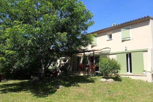
Villa provençale à 100m de la baignade en rivière
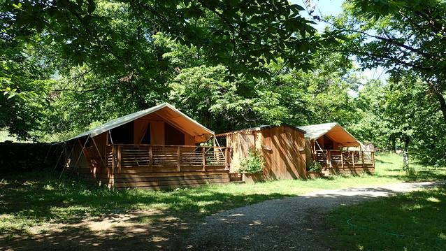
Lodges et Cabanes de La Châtaigneraie
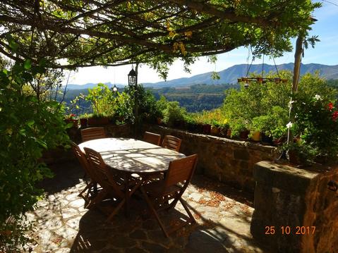
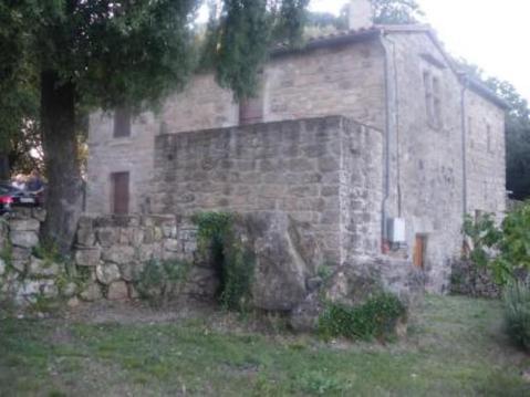
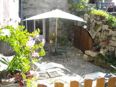
Très belle maison ardéchoise ancienne en pierres,
Maison de caractères

Villa la Barbière avec piscine privée
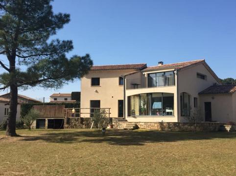
Villa Luminières I avec piscine privée
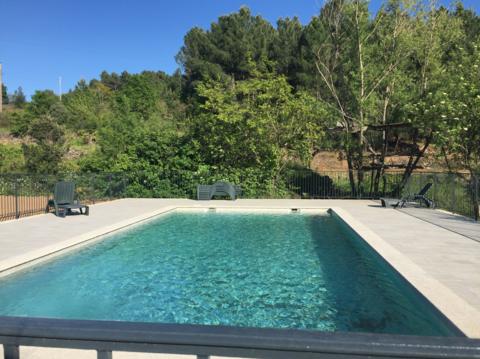
Villa Luminières II avec piscine privée
Gîte la Cour fleurie

infos parcours (10)
Parking de la Garde-Guérin
Parking de la Garde-Guérin
Croix en bois
Panneau " Le Béal"
Passerelle
Hameau de la Chalmette
Hameau du Roure
Pont
Bifurcation à droite
Route et parking
AGNES
Cartes associées
