
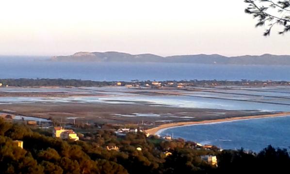
Rando des Maures
- Thématique Aventure, adrénaline
- Mis à jour le 28/05/2016
- Identifiant 66627
Sélectionner le fond de carte

PLAN IGN

PHOTOS AERIENNES

CARTES IGN MULTI-ECHELLES

TOP 25 IGN

CARTES DES PENTES

PARCELLES CADASTRALES

CARTES OACI

CARTES 1950 IGN

CARTE DE L’ETAT-MAJOR (1820-1866)

Open Street Map
Afficher les points d'intérêt à proximité
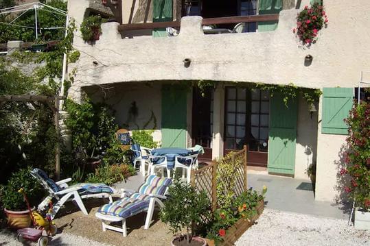
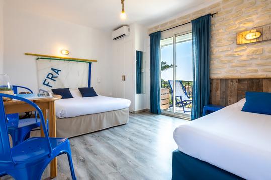
Hébergements
Informations
Lieux d'intérêts
Producteurs
Restauration
Services et Commerces
Autre
Echelle
|
durée / niveau
Rando pédestre
|
distance
28,5 km
type parcours
Aller Simple
|
|||||||||
|
Lieu de départ
24 r saint-bernard
83400 Hyères |
accessibilite
|
|||||||||
|
prestations payantes
Non
|
type(s) de sol
Terre
|
|||||||||
|
Mots clés
randonneurs_aguerris
|
||||||||||
description
départ de Hyères, destination Collobrières par
Hébergements à proximité


infos parcours (2)
1
83250 La Londe-les-Maures
pause méridienne
Informations complémentaires
83250 La Londe-les-Maures
kilomètre
18,83
latitude
43.2007
altitude
206
m
longitude
6.25431
2
83610 Collobrières
Premiere nuit
Informations complémentaires
83610 Collobrières
kilomètre
27,96
latitude
43.2287
altitude
347
m
longitude
6.31364
Cyril
Note moyenne
Cartes associées

Vous aimerez aussi
6.9 km
| par Amis de Saint Jacques en Terre Varoise |