
Boucle URT
- Thématique Balade
- Mis à jour le 07/04/2020
- Identifiant 710032


|
durée / niveau
Rando pédestre
|
distance
10,7 km
type parcours
Boucle
|
|||||||||
|
Lieu de départ
Urt
|
accessibilite
|
|||||||||
|
prestations payantes
Non
|
type(s) de sol
Bitume
Terre Herbe |
|||||||||
description
Durée totale : 2:30
Moyenne globale : 4 Km/h
Pente moyenne : 2 %
Aire incluse : 244.6785 ha
Bornes emprise : 43.4965 -1.2952 ; 43.4796 -1.2577
Détails par segments
distance | durée | vit.moy. | vit.max. | déniv. + | déniv -
km | hh:mn:ss | km/h | km/h | m | m
10.66 | 00:00:00 | 0.0 | 0.0 | 0 | 0
Hébergements à proximité
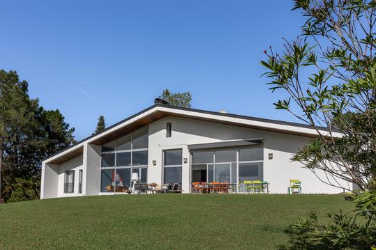
Espace, Luxe, Calme et Nature
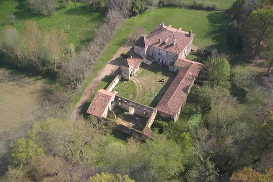
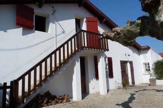
Chateau-Gite Landes Pays Basque
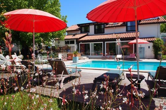
Domaine de Millox
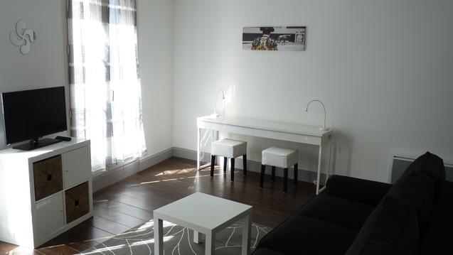
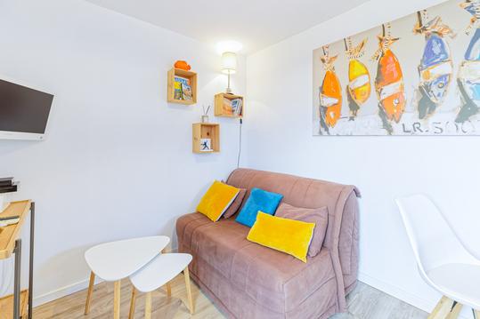
Pays Basque Biarritz Bayonne Charmant Meublé
T3 pays basque / sud landes
Maisonnette proche plage et forêt vélos inclus
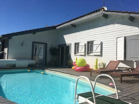
Villa Val Fleuri 10/11 pers à 5min de la plage
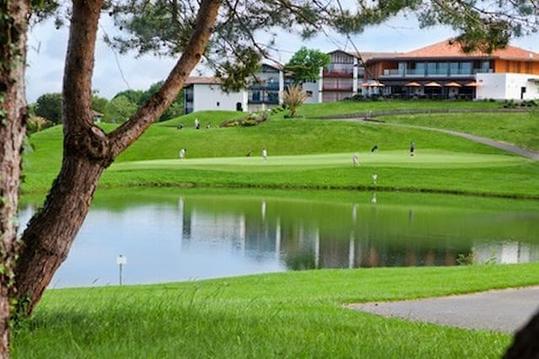
APPART DE CHARME S/GOLF PROCHE BIARRITZ&ANGLET


