
RANDONNEE CAROUX DOUCH
- Thématique Randonnée
- Mis à jour le 13/07/2016
- Identifiant 81692
Sélectionner le fond de carte

PLAN IGN

PHOTOS AERIENNES

CARTES IGN MULTI-ECHELLES

TOP 25 IGN

CARTES DES PENTES

PARCELLES CADASTRALES

CARTES OACI

CARTES 1950 IGN

CARTE DE L’ETAT-MAJOR (1820-1866)

Open Street Map
Afficher les points d'intérêt à proximité
Hébergements
Informations
Lieux d'intérêts
Producteurs
Restauration
Services et Commerces
Autre
Echelle
|
durée / niveau
Rando pédestre
|
distance
6,9 km
type parcours
Boucle
|
|||||||||
|
Lieu de départ
248 douch
34610 Rosis |
accessibilite
|
|||||||||
|
prestations payantes
Non
|
type(s) de sol
Sable
Terre Herbe Rochers |
|||||||||
description
RANDONNÉE FACILE
ÊTRE VIGILANT SUR PREMIERS HECTOMÈTRES AU DÉNIVELÉ ET SUIVI BALISAGE
CHEMIN MAL DÉFINI ENTRE LES ARBRES
ÊTRE VIGILANT SUR PREMIERS HECTOMÈTRES AU DÉNIVELÉ ET SUIVI BALISAGE
CHEMIN MAL DÉFINI ENTRE LES ARBRES
Hébergements à proximité
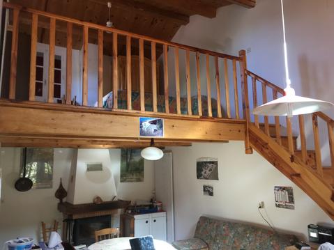
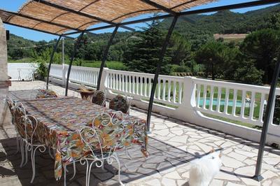
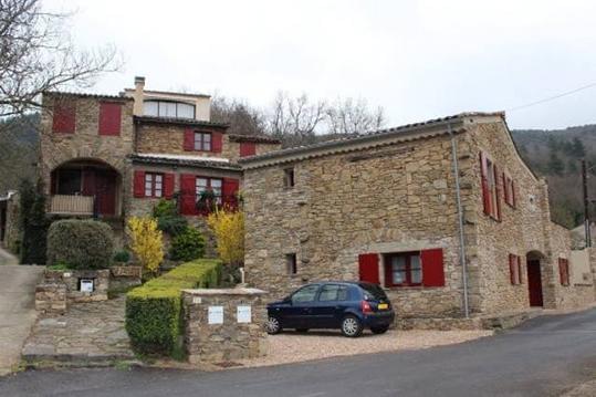
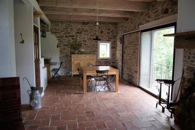

GERARD
Note moyenne
Cartes associées

Vous aimerez aussi
Chemin de Compostelle en France en partant du centre Var (83) à St Jean Pied de Port.
Tourisme de mémoire
1 072.5 km
| par Frédéric |