
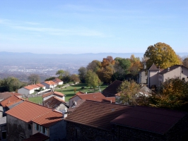
Le tour de Chaumont
- Thématique Campagne
- Mis à jour le 02/08/2016
- Identifiant 82849
Sélectionner le fond de carte

PLAN IGN

PHOTOS AERIENNES

CARTES IGN MULTI-ECHELLES

TOP 25 IGN

CARTES DES PENTES

PARCELLES CADASTRALES

CARTES OACI

CARTES 1950 IGN

CARTE DE L’ETAT-MAJOR (1820-1866)

Open Street Map
Afficher les points d'intérêt à proximité
Hébergements
Informations
Lieux d'intérêts
Producteurs
Restauration
Services et Commerces
Autre
Echelle
|
durée / niveau
VTT
|
distance
15,6 km
type parcours
Boucle
|
|||||||||
|
Lieu de départ
30 av des volcans
63530 Chanat-la-Mouteyre |
accessibilite
|
|||||||||
|
prestations payantes
Non
|
type(s) de sol
Terre
Herbe Neige |
|||||||||
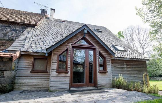
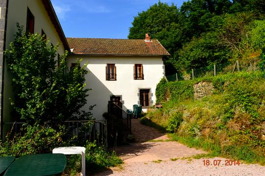
Photos & vidéos (1)
|
description
Parcours n°5
Hébergements à proximité

Note moyenne
Cartes associées
