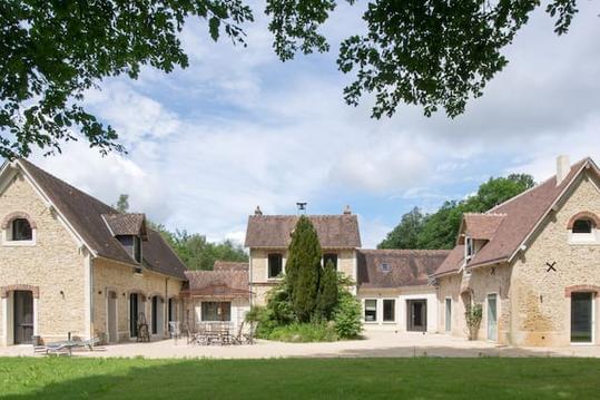
Auffargis Etangs de Hollande court
- Thématique Randonnée
- Mis à jour le 24/05/2020
- Identifiant 974993
Sélectionner le fond de carte

PLAN IGN

PHOTOS AERIENNES

CARTES IGN MULTI-ECHELLES

TOP 25 IGN

CARTES DES PENTES

PARCELLES CADASTRALES

CARTES OACI

CARTES 1950 IGN

CARTE DE L’ETAT-MAJOR (1820-1866)

Open Street Map
Afficher les points d'intérêt à proximité
Hébergements
Informations
Lieux d'intérêts
Producteurs
Restauration
Services et Commerces
Autre
Echelle
|
durée / niveau
Rando pédestre
|
distance
14,9 km
type parcours
Boucle
|
|||||||||
|
Lieu de départ
78610 Le Perray-en-Yvelines
|
accessibilite
|
|||||||||
|
prestations payantes
Non
|
type(s) de sol
Graviers
Sable Terre Herbe |
|||||||||
description
Bois de Pourras, étangs de Corbet, Bourgneuf, route aux vaches, étang Rompu, Route du Grand Maître, carrefour du Poteau de Hollande, carrefour de Hollande, carrefour de Judith, carrefour de Bourgneuf, rigole des Yvelines, la Ganarderie, Pont Napoleon, bois de Pourras.
Hébergements à proximité
Points d'interêt (3)
A
78610 Le Perray-en-Yvelines
Voir la fiche du point d'intéret »
Parking St Hubert Auffargis
Parking
Parking en bordure de la D991.
Informations complémentaires
78610 Le Perray-en-Yvelines
kilomètre
0,05
latitude
48.7074
altitude
174
m
longitude
1.85474
à proximité
B
78610 Les Bréviaires
Voir la fiche du point d'intéret »
Etang de hollande
Point d'intérêt naturel
Informations complémentaires
78610 Les Bréviaires
kilomètre
5,62
latitude
48.7307
altitude
170
m
longitude
1.79369
à proximité
C
78610 Saint-Léger-en-Yvelines
Voir la fiche du point d'intéret »
Etang Rompu
Lac / Etendue d'eau
Très joli étang.
Informations complémentaires
78610 Saint-Léger-en-Yvelines
kilomètre
7,26
latitude
48.7381
altitude
156
m
longitude
1.77405
Note moyenne


