
Cléron les reculées de Norvaux et de Valbois et le Castel Saint-Denis
- Thématique Randonnée
- Mis à jour le 06/06/2020
- Identifiant 988476
Sélectionner le fond de carte

PLAN IGN

PHOTOS AERIENNES

CARTES IGN MULTI-ECHELLES

TOP 25 IGN

CARTES DES PENTES

PARCELLES CADASTRALES

CARTES OACI

CARTES 1950 IGN

CARTE DE L’ETAT-MAJOR (1820-1866)

Open Street Map
Afficher les points d'intérêt à proximité
Hébergements
Informations
Lieux d'intérêts
Producteurs
Restauration
Services et Commerces
Autre
Echelle
|
durée / niveau
Rando pédestre
|
distance
17,3 km
type parcours
Boucle
|
|||||||||
|
Lieu de départ
4 pl de l'eglise
25330 Cléron |
accessibilite
|
|||||||||
|
prestations payantes
Non
|
type(s) de sol
Bitume
Graviers Terre Herbe Rochers |
|||||||||
|
Mots clés
panorama, rivière, ruisseau, campagne, château, village
|
||||||||||
Hébergements à proximité


infos parcours (11)
1
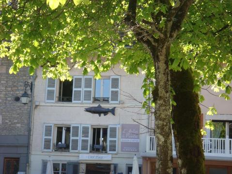
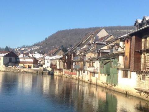
Cléron
Informations complémentaires
kilomètre
0,67
latitude
47.0868
altitude
332
m
longitude
6.06176
2
Entrée dans le bois
Informations complémentaires
kilomètre
1,49
latitude
47.0828
altitude
406
m
longitude
6.06816
3
Le Rocher du Moine
Informations complémentaires
kilomètre
3,09
latitude
47.0746
altitude
532
m
longitude
6.08007
4
Belvédère de Lavoutre
Informations complémentaires
kilomètre
4,75
latitude
47.0683
altitude
538
m
longitude
6.09145
5
La Barode
Informations complémentaires
kilomètre
7,50
latitude
47.0648
altitude
534
m
longitude
6.11528
6
Le Curond
Informations complémentaires
kilomètre
8,56
latitude
47.0693
altitude
557
m
longitude
6.11012
7
Chassagne-Saint-Denis
Informations complémentaires
kilomètre
10,57
latitude
47.0815
altitude
553
m
longitude
6.11518
8
Entre ciel et calcaire : la pelouse
Informations complémentaires
kilomètre
12,56
latitude
47.0916
altitude
501
m
longitude
6.09612
9
Castel Saint-Denis
Informations complémentaires
kilomètre
13,74
latitude
47.0956
altitude
496
m
longitude
6.08479
10
Château du Pater
Informations complémentaires
kilomètre
14,55
latitude
47.0966
altitude
381
m
longitude
6.07916
11
Grillet, ruines de l'ancien moulin
Informations complémentaires
kilomètre
15,90
latitude
47.0908
altitude
315
m
longitude
6.06936
salah
Note moyenne
Cartes associées
