
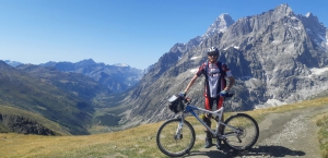
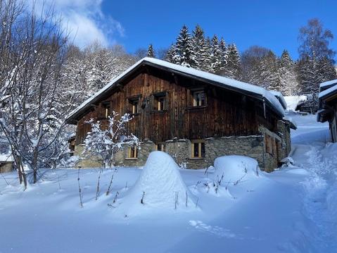
GR Tour Du Mont Blanc à VTT - 2020 09 02-06
- Thématique Montagne
- Mis à jour le 21/10/2020
- Identifiant 1115455


|
durée / niveau
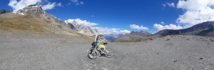
VTT
|
distance
220,7 km
type parcours
Boucle
|
|||||||||
|
Lieu de départ
410 rte de la gare
74310 Les Houches |
accessibilite
|
|||||||||
|
prestations payantes
Non
|
type(s) de sol
Bitume
Graviers Sable Terre Herbe Rochers Neige |
|||||||||
|
Mots clés
VTT, trail, cols, alpes, mont-blanc, Les-Houches
|
||||||||||
Photos & vidéos (6)

|
|
|
|
|
|
description
1) Commentaires sur les étapes :
J1- Les Houches -> Tré le Champ : Etape de très loin la plus difficile
J2 - Tré le Champ -> Champex : Secteur entre col des Posettes et col de Balme interdit aux VTT en juillet et août
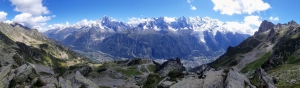
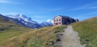
J3 - Champex -> Courmayeur : Etape la plus belle (balcon cyclable entre la cabane d'Arp Nouva et le refuge Bertone)
J4 - Courmayeur -> Les Chapieux : Descente du col de la Seigne, la meilleure en VTT
J5 - Les Chapieux -> Les Houches : Descente sur le sentier du GR à l'entrée des Houches, interdite aux VTT
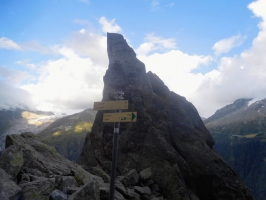
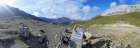
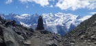
2) Liste des 14 cols gravis :
Brèche du Brévent FR-74-2398
Col du Brévent FR-74-2368
Col des Chevalettes FR-74-2015
Col des Posettes FR-74-1997a
Col de Balme FR-74-2191
Col de la Forclaz CH-VS-1528
Porte à l'Ô CH-VS-2049
Col de Champex CH-VS-1498a
Creux de la Chaudière CH-VS-2425
Grand col Ferret CH-VS-2537c
Colle Checrouit IT-AO-1956
Col de la Seigne FR-73-2516b
Col du Bonhomme FR-74-2329
Col de Voza FR-74-1653b
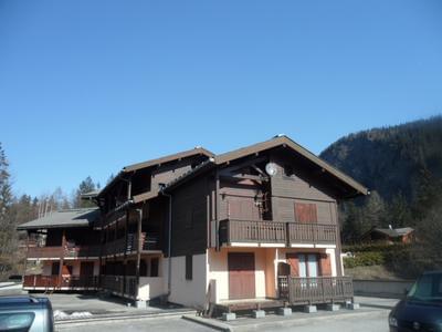
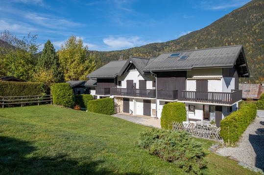
Hébergements à proximité
Appt pied des pistes vue Mt Blanc et lac !
FACE AIGUILLE DU MIDI
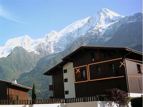
APPARTEMENT MONT BLANC
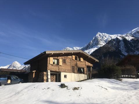
CHALET CENTRE DE LA VALLEE DE CHAMONIX 1km pistes
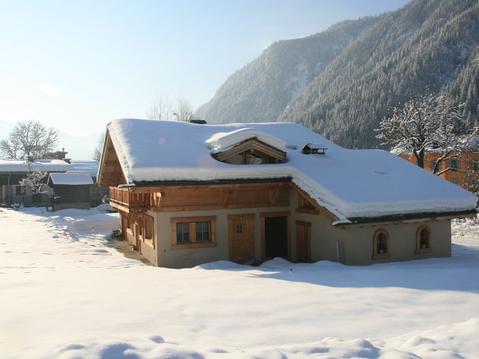
duplex 50 M2 indépendant
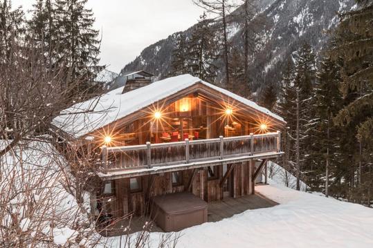
Chalet L'ourson : 3 chambres, jacuzzi et sauna
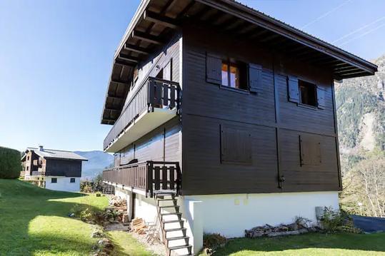
Appartement cosy au pied du MtBlanc
Chalet typique des alpes au pied du Mont Blanc

Avertissement
infos parcours (60)
Lago del Miage
Col de Tricot
Christ Roi
Panorama
La Flégère
74400 Chamonix-Mont-Blanc
Lac Blanc
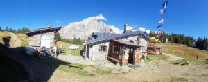
Lac Blanc Refuge
Walter Bonatti refuge
Courmayeur
Refuge du Miage
Checrout lake
Col du Bonhomme (2329 m)
|
74170 Les Contamines-Montjoie
Alpage
Hotel du Col de Fenêtre
Hotel Col de la Forclaz.
Col de la Seigne
Arp Vielle Superiore
No Donkey
Chalet du Col de Balme
Rifugio Elena
Panorama
Rifugio Bertone Nuovo
Rifugio Giorgio Bertone Vecchio
Panorama
Rifugio Maison Vieille
Auberge Le Truc
Rifugio Elisabetta Soldini Montanaro
Refuge des Mottets
Refuge du Col de la Croix du Bonhomme
La Balme
Nant Borrant Refuge
Panorama
Restaurant Relais d'Arpette
Rifugio Elena
Chalet Val Ferret
Giorgio Bertone refuge
Combal Hut
La Casermetta refuge
Croix du Bonhomme Pass Refuge
The Auberge du Mont Blanc
La Peule Chalet
Lago Checkout
Bonatti refuge
Edelweiss
Rifugio Elisabetta
Bellevue Lift Base
Mottets Refuge
Le Brévent
|
74400 Chamonix-Mont-Blanc
Refuge de Miage
The Houches Train Station
The Rifugio Hiker
Grand Col Ferret
Col du Bonhomme
Col de Tricot
Refuge of Nant Borrant
Chalet Refuge La Balme
Refuge La Flegere
Lakes of Ch??serys
Lac Blanc Refuge
Col de Balme
|
74
Guy
Cartes associées
