
circuit col de cordon,col de chavanais,col vesinaz
- Mis à jour le 25/06/2021
- Identifiant 1328041
Sélectionner le fond de carte

PLAN IGN

PHOTOS AERIENNES

CARTES IGN MULTI-ECHELLES

TOP 25 IGN

CARTES DES PENTES

PARCELLES CADASTRALES

CARTES OACI

CARTES 1950 IGN

CARTE DE L’ETAT-MAJOR (1820-1866)

Open Street Map
Afficher les points d'intérêt à proximité
Hébergements
Informations
Lieux d'intérêts
Producteurs
Restauration
Services et Commerces
Autre
Echelle
|
durée / niveau
Rando pédestre
|
distance
10,6 km
type parcours
Boucle
|
|||||||||
|
Lieu de départ
74440 Mieussy
|
accessibilite
|
|||||||||
|
prestations payantes
Non
|
type(s) de sol
Terre
|
|||||||||
Hébergements à proximité

infos parcours (16)
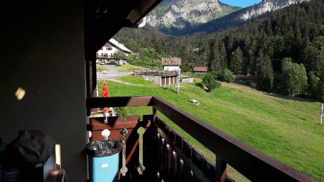
1
IMG_2181
Informations complémentaires
kilomètre
1,04
latitude
46.1679
altitude
1573
m
longitude
6.54817
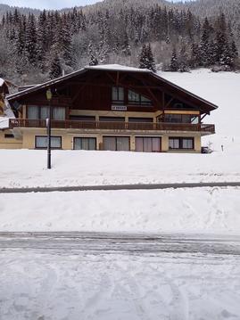
2
IMG_2186
Informations complémentaires
kilomètre
0,30
latitude
46.1666
altitude
1467
m
longitude
6.55154
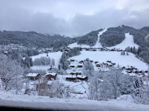
3
IMG_2187
Informations complémentaires
kilomètre
1,04
latitude
46.1679
altitude
1573
m
longitude
6.54817
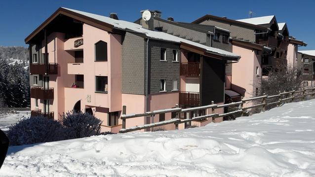
4
IMG_2190
Informations complémentaires
kilomètre
1,26
latitude
46.1678
altitude
1608
m
longitude
6.54545
5
IMG_2191
Informations complémentaires
kilomètre
1,35
latitude
46.1676
altitude
1626
m
longitude
6.54443
6
IMG_2192
Informations complémentaires
kilomètre
2,68
latitude
46.176
altitude
1649
m
longitude
6.5448
7
IMG_2193
Informations complémentaires
kilomètre
3,03
latitude
46.1775
altitude
1740
m
longitude
6.5468
8
IMG_2194
Informations complémentaires
kilomètre
3,04
latitude
46.1775
altitude
1746
m
longitude
6.54699
9
IMG_2196
Informations complémentaires
kilomètre
3,43
latitude
46.1787
altitude
1741
m
longitude
6.55048
10
IMG_2197
Informations complémentaires
kilomètre
4,17
latitude
46.1791
altitude
1665
m
longitude
6.55741
11
IMG_2199
Informations complémentaires
kilomètre
4,23
latitude
46.1791
altitude
1667
m
longitude
6.55815
12
IMG_2201
Informations complémentaires
kilomètre
5,93
latitude
46.1788
altitude
1717
m
longitude
6.57437
13
IMG_2202
Informations complémentaires
kilomètre
6,09
latitude
46.1778
altitude
1750
m
longitude
6.57547
14
IMG_2203
Informations complémentaires
kilomètre
6,52
latitude
46.1749
altitude
1798
m
longitude
6.57575
15
IMG_2204
Informations complémentaires
kilomètre
6,52
latitude
46.1749
altitude
1798
m
longitude
6.57575
16
IMG_2205
Informations complémentaires
kilomètre
15,15
latitude
46.1778
altitude
1750
m
longitude
6.57547
serge
Note moyenne
Cartes associées
