
3 becs
- Mis à jour le 02/07/2021
- Identifiant 1344794
Sélectionner le fond de carte

PLAN IGN

PHOTOS AERIENNES

CARTES IGN MULTI-ECHELLES

TOP 25 IGN

CARTES DES PENTES

PARCELLES CADASTRALES

CARTES OACI

CARTES 1950 IGN

CARTE DE L’ETAT-MAJOR (1820-1866)

Open Street Map
Afficher les points d'intérêt à proximité
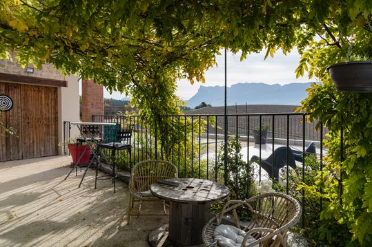
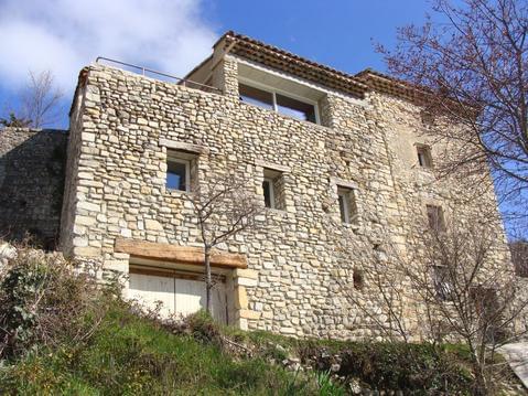
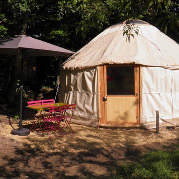
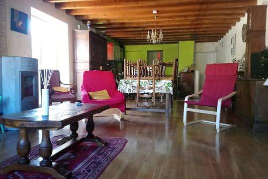
Hébergements
Informations
Lieux d'intérêts
Producteurs
Restauration
Services et Commerces
Autre
Echelle
|
durée / niveau
Rando pédestre
|
distance
10,4 km
type parcours
|
|||||||||
|
Lieu de départ
26340 La Chaudière
|
accessibilite
|
|||||||||
|
prestations payantes
Non
|
type(s) de sol
|
|||||||||
Hébergements à proximité

infos parcours (6)
1
121107 1400 Pas de Siarra (26)
Informations complémentaires
kilomètre
1,48
latitude
44.6335
altitude
1316
m
longitude
5.19574
2
121107 1400 Le Veyou (26)
Informations complémentaires
kilomètre
2,32
latitude
44.6366
altitude
1536
m
longitude
5.2007
3
121107 1400 Le Signal (26)
Informations complémentaires
kilomètre
3,81
latitude
44.6418
altitude
1533
m
longitude
5.20072
4
121107 1400 Roche Courbe (26)
Informations complémentaires
kilomètre
5,48
latitude
44.6478
altitude
1326
m
longitude
5.19952
5
121107 1400 Passage de Picourere (26)
Informations complémentaires
kilomètre
15,97
latitude
44.6448
altitude
1440
m
longitude
5.19956
6
121107 1400 Rocher de la Laveuse (26)
Informations complémentaires
kilomètre
13,69
latitude
44.6519
altitude
1358
m
longitude
5.19091
Sébastien
Note moyenne
Cartes associées
