
Hendaye Sare
- Mis à jour le 31/07/2021
- Identifiant 1383571


|
durée / niveau
VTT
|
distance
28,2 km
type parcours
Aller Simple
|
|||||||||
|
Lieu de départ
Sare
|
accessibilite
|
|||||||||
|
prestations payantes
Non
|
type(s) de sol
|
|||||||||
Hébergements à proximité
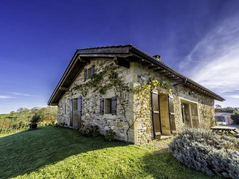
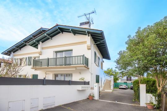
BERGERIE dans Village TYPIQUE. Trois ÉTOILES.
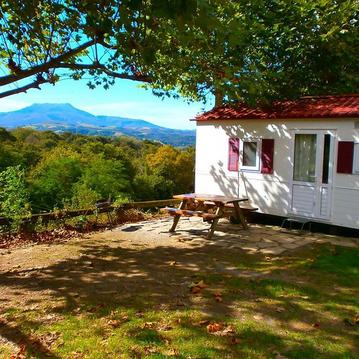
chalet mobile camping manex
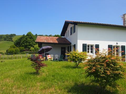
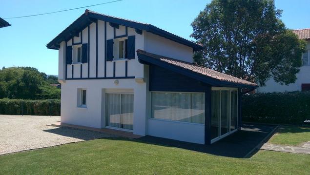
maison entre mer et montagne 4 étoiles 2020
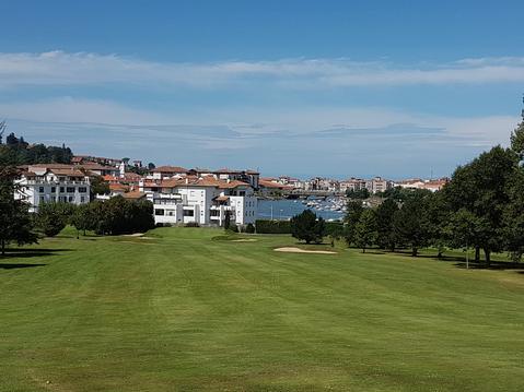
GREENS DE LA NIVELLE
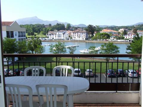
PLAGE ET CENTRE VILLE A PIED
Appartement sur la côte basque
VILLA 70 M2 CLASSEE 4 ETOILES MEUBLE DE TOURISME
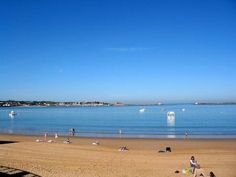
Au coeur de St Jean-De-Luz, à 30 m de l'océan

infos parcours (5)
Thomas
Cartes associées
