Monacia d'Aulene
- Thématique Randonnée
- Mis à jour le 19/08/2021
- Identifiant 1405476
Sélectionner le fond de carte

PLAN IGN

PHOTOS AERIENNES

CARTES IGN MULTI-ECHELLES

TOP 25 IGN

CARTES DES PENTES

PARCELLES CADASTRALES

CARTES OACI

CARTES 1950 IGN

CARTE DE L’ETAT-MAJOR (1820-1866)

Open Street Map
Afficher les points d'intérêt à proximité
Hébergements
Informations
Lieux d'intérêts
Producteurs
Restauration
Services et Commerces
Autre
Echelle
|
durée / niveau
Rando pédestre
|
distance
4,6 km
type parcours
Boucle
|
|||||||||
|
Lieu de départ
20171 Monacia-d'Aullène
|
accessibilite
|
|||||||||
|
prestations payantes
Non
|
type(s) de sol
Graviers
Terre Herbe Rochers |
|||||||||
description
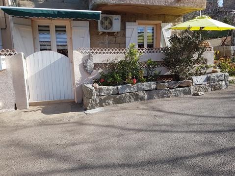
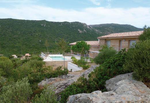
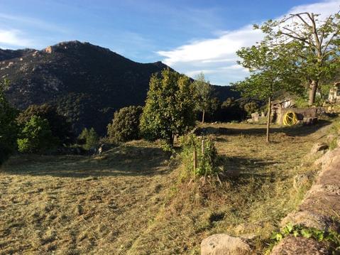
Santier du patrimoine permetant de découvrir les Orii ainsi que des maisons anciennes.
Hébergements à proximité
infos parcours (9)
1
Parking sur RD50
Informations complémentaires
kilomètre
0,00
latitude
41.5109
altitude
78
m
longitude
9.00694
2
Carrefour de la boucle
Informations complémentaires
kilomètre
0,15
latitude
41.5121
altitude
86
m
longitude
9.00774
3
Bifurcation à droite
Informations complémentaires
kilomètre
1,16
latitude
41.5082
altitude
40
m
longitude
9.0008
4
Oriu di Cubia
Informations complémentaires
kilomètre
1,82
latitude
41.5129
altitude
97
m
longitude
8.99651
5
À droite à la fourche en T
Informations complémentaires
kilomètre
1,94
latitude
41.5139
altitude
104
m
longitude
8.99593
6
Oriu derrière la maison ruinée
Informations complémentaires
kilomètre
2,54
latitude
41.5157
altitude
106
m
longitude
9.00168
7
À droite vers le village
Informations complémentaires
kilomètre
3,41
latitude
41.5174
altitude
113
m
longitude
9.00966
8
à gauche
Informations complémentaires
kilomètre
9,03
latitude
41.5121
altitude
86
m
longitude
9.0078
9
Parking sur RD50
Informations complémentaires
kilomètre
9,18
latitude
41.5109
altitude
78
m
longitude
9.00688


