
Tour de la montagne noire
- Thématique Randonnée
- Mis à jour le 19/08/2021
- Identifiant 1405514
Sélectionner le fond de carte

PLAN IGN

PHOTOS AERIENNES

CARTES IGN MULTI-ECHELLES

TOP 25 IGN

CARTES DES PENTES

PARCELLES CADASTRALES

CARTES OACI

CARTES 1950 IGN

CARTE DE L’ETAT-MAJOR (1820-1866)

Open Street Map
Afficher les points d'intérêt à proximité
Hébergements
Informations
Lieux d'intérêts
Producteurs
Restauration
Services et Commerces
Autre
Echelle
|
durée / niveau
Randonnée/tourisme équestre
|
distance
137,8 km
type parcours
Boucle
|
|||||||||
|
Lieu de départ
81110 Dourgne
|
accessibilite
|
|||||||||
|
prestations payantes
Non
|
type(s) de sol
|
|||||||||
Hébergements à proximité

infos parcours (13)
1
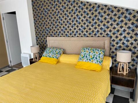
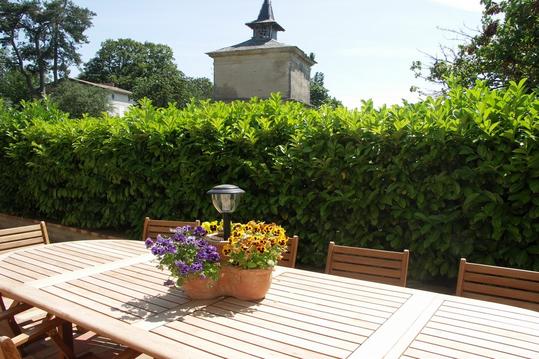
COTE JARDIN
04 68 76 09 03abbaye de Villelongue
Informations complémentaires
kilomètre
56,41
latitude
43.3052
altitude
164
m
longitude
2.1674
2
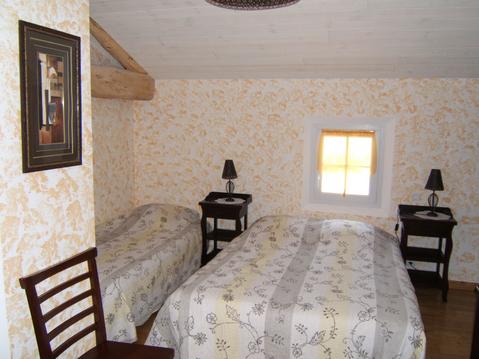
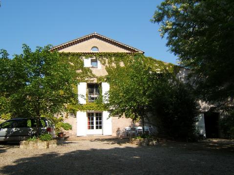
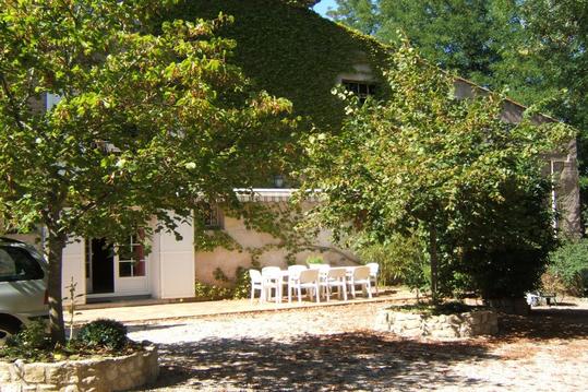
FONT BRUNO
contacter directement: 04 68 26 61 41
Informations complémentaires
kilomètre
13,47
latitude
43.4602
altitude
855
m
longitude
2.24391
3
Gué
Informations complémentaires
kilomètre
15,11
latitude
43.4443
altitude
791
m
longitude
2.24239
4
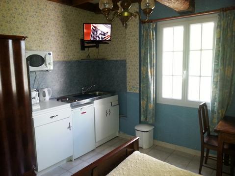
Gîte de la FONTAINE
Informations complémentaires
kilomètre
71,03
latitude
43.4119
altitude
604
m
longitude
2.07588
5
Jonction Tour de Pays Montagne Noire/Transequestre Nord
Informations complémentaires
kilomètre
235,70
latitude
43.2926
altitude
234
m
longitude
2.30729
6
La JASSE
contacter directement:04.68.94.33.78 / 06.12.72.34.59
Informations complémentaires
kilomètre
201,51
latitude
43.3849
altitude
527
m
longitude
2.07887
7
Laprade
bar
Informations complémentaires
kilomètre
258,49
latitude
43.4426
altitude
848
m
longitude
2.25807
8
le 620
restaurant
Informations complémentaires
kilomètre
246,88
latitude
43.3702
altitude
617
m
longitude
2.24703
9
Les CARLES
contacter directement:05 63 82 00 48
Informations complémentaires
kilomètre
178,90
latitude
43.4647
altitude
592
m
longitude
2.14984
10
Montolieu
restaurant
Informations complémentaires
kilomètre
227,28
latitude
43.3095
altitude
174
m
longitude
2.21532
11
REC d'ALBY
Fiche détaillée:
Informations complémentaires
kilomètre
249,10
latitude
43.3768
altitude
662
m
longitude
2.26881
12
St ROCH
Résevoir accessible
Informations complémentaires
kilomètre
228,68
latitude
43.3056
altitude
234
m
longitude
2.22946
13
Villespy
eau pour chevaux
Informations complémentaires
kilomètre
149,83
latitude
43.3192
altitude
170
m
longitude
2.09985
SYLVIE
Note moyenne
Cartes associées
