
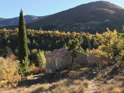
Les Gorges de la Nesque par Monieux
- Thématique Randonnée
- Mis à jour le 17/09/2021
- Identifiant 1434161


|
durée / niveau
Rando pédestre
|
distance
8,3 km
type parcours
Boucle
|
|||||||||
|
Lieu de départ
84390 Monieux
|
accessibilite
|
|||||||||
|
prestations payantes
Non
|
type(s) de sol
Bitume
Graviers Rochers |
|||||||||
description
Hébergements à proximité
Entre Nesque et Ventoux
Gîte ASPA : Accueil Sportif du Plateau d'Albion
Maison Ventoux, Piscine, Mormoiron
La Petite Maison - Charming house in hamlet
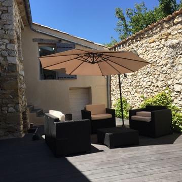
LUXUEUSE BERGERIE AU PIED DU VENTOUX
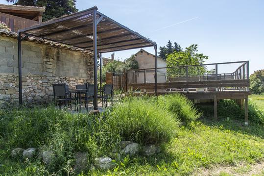
gite les pousse-chiens
les eyssaux en baronnies provençales
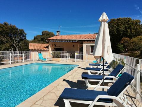
BEDOIN MONT VENTOUX calme, nature et soleil à l'ou

infos parcours (7)
Lac du Bourget
Monieux
Sentier des Chapelles
D942
La Peisse
Font de Jean
Lac du Bourget
Herve
Cartes associées
