
L'Astate depuis le Col d'Ispéguy
- Mis à jour le 26/09/2021
- Identifiant 1441532
Sélectionner le fond de carte

PLAN IGN

PHOTOS AERIENNES

CARTES IGN MULTI-ECHELLES

TOP 25 IGN

CARTES DES PENTES

PARCELLES CADASTRALES

CARTES OACI

CARTES 1950 IGN

CARTE DE L’ETAT-MAJOR (1820-1866)

Open Street Map
Afficher les points d'intérêt à proximité
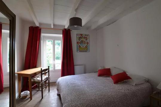
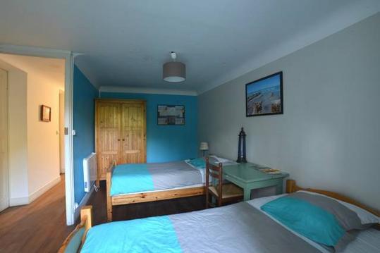
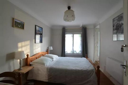
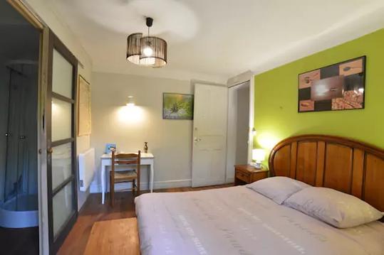
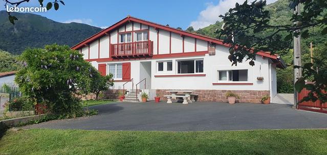
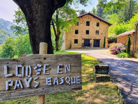
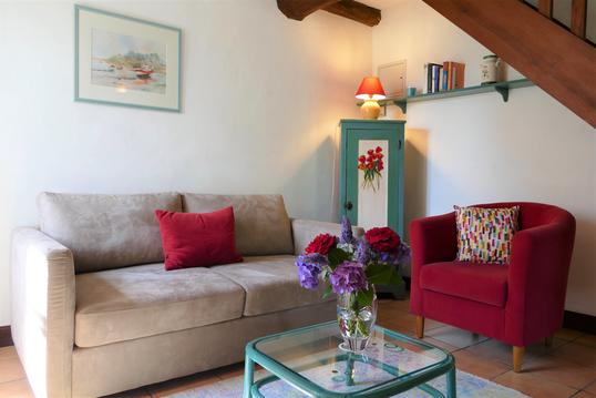
Hébergements
Informations
Lieux d'intérêts
Producteurs
Restauration
Services et Commerces
Autre
Echelle
|
durée / niveau
Rando pédestre
|
distance
8,3 km
type parcours
Aller/Retour
|
|||||||||
|
Lieu de départ
64430 Saint-Étienne-de-Baïgorry
|
accessibilite
|
|||||||||
|
prestations payantes
Non
|
type(s) de sol
Terre
Herbe Rochers |
|||||||||
Hébergements à proximité

infos parcours (7)
1
Parking
Informations complémentaires
kilomètre
0,00
latitude
43.1753
altitude
671
m
longitude
-1.40184
2
Patte d'oie
Informations complémentaires
kilomètre
2,78
latitude
43.1918
altitude
870
m
longitude
-1.38528
3
Gros arbre : A/ à droite - R/ tout droit
Informations complémentaires
kilomètre
3,41
latitude
43.1954
altitude
961
m
longitude
-1.38811
4
Sommet
Informations complémentaires
kilomètre
3,59
latitude
43.1943
altitude
1027
m
longitude
-1.38664
5
Sommet
Informations complémentaires
kilomètre
4,29
latitude
43.1996
altitude
1019
m
longitude
-1.3829
6
Retour au pied du Buztanzelai
Informations complémentaires
kilomètre
13,18
latitude
43.1954
altitude
962
m
longitude
-1.38809
7
Retour au parking - Col d'Ispéguy (672m)
Informations complémentaires
kilomètre
16,58
latitude
43.1753
altitude
671
m
longitude
-1.40184

