
Lanester cimetiere de bateau
- Thématique Randonnée
- Mis à jour le 07/10/2021
- Identifiant 1451496


|
durée / niveau
Marche nordique
|
distance
13,3 km
type parcours
Boucle
|
|||||||||
|
Lieu de départ
56600 Lanester
|
accessibilite
|
|||||||||
|
prestations payantes
Non
|
type(s) de sol
Bitume
Graviers Terre Herbe |
|||||||||
Hébergements à proximité
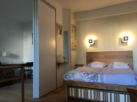
Gîte LES TOPIAIRES rénové en 2021
Petit duplex proche mer
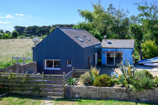
Villa mer de Gâvres Plouhinec
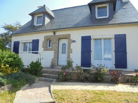
VILLA LA BICHONNE
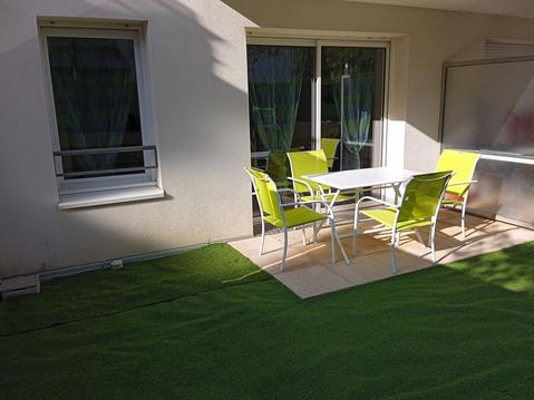
Appartement face aux pistes cyclables de l'océan
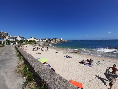
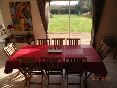
Appart. jusqu'à 5 personnes, plage et GR34 à 50m

Ti Korelo-2 sauna, spa, mer et campagne, GUIDEL
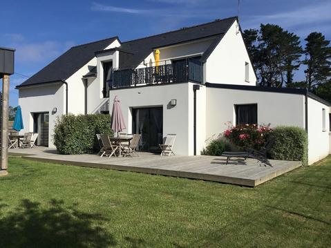
Ti Korelo-1 sauna, spa, mer et campagne, GUIDEL

infos parcours (18)
Prebdre à droite le circuit du marais de la Coden
Parking du théatre en plein air de Kerverhy
Bifurcation sur chemin
Prendre à droite rue du Bol d'air
Chapelle Saint-Guénaël
Rue de Pen Mané
Chemin du marais de la Coden
Passage piétons avant voie ferrée
Parking du théatre en plein air de Kerverhy
Bifurcation après le hameau de kerguer
Bifurcation vers Kerguer
Centre de loisirs
Route tranversale
Chemin à gauche de la route
Bifurcation à gauche
Rocher du Diable
Lavoir du Resto
isabelle
Cartes associées
