
GRR2 La Réunion
- Mis à jour le 03/11/2021
- Identifiant 1479271
Sélectionner le fond de carte

PLAN IGN

PHOTOS AERIENNES

CARTES IGN MULTI-ECHELLES

TOP 25 IGN

CARTES DES PENTES

PARCELLES CADASTRALES

CARTES OACI

CARTES 1950 IGN

CARTE DE L’ETAT-MAJOR (1820-1866)

Open Street Map
Afficher les points d'intérêt à proximité
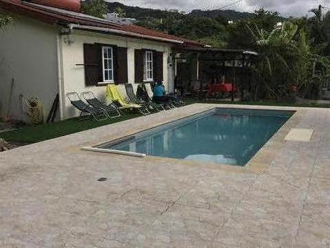
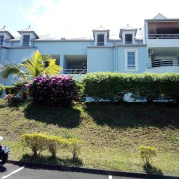
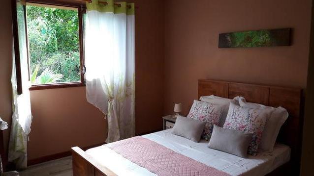
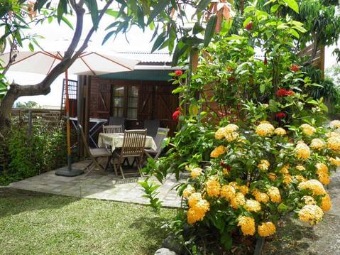
Hébergements
Informations
Lieux d'intérêts
Producteurs
Restauration
Services et Commerces
Autre
Echelle
|
durée / niveau
Rando pédestre
|
distance
169,1 km
type parcours
|
|||||||||
|
Lieu de départ
97400 Saint-Denis
|
accessibilite
|
|||||||||
|
prestations payantes
Non
|
type(s) de sol
|
|||||||||
Hébergements à proximité

infos parcours (15)
1
St Denis la Providence
Informations complémentaires
kilomètre
0,18
latitude
-20.8954
altitude
32
m
longitude
55.4577
2
Gite de la Roche Ecrite
Informations complémentaires
kilomètre
14,51
latitude
-20.9859
altitude
1804
m
longitude
55.4431
3
La Roche Ecrite
Informations complémentaires
kilomètre
18,63
latitude
-21.0141
altitude
2262
m
longitude
55.4612
4
Dos d'Ane
Informations complémentaires
kilomètre
30,57
latitude
-20.9862
altitude
1082
m
longitude
55.3858
5
Aurère
Informations complémentaires
kilomètre
42,77
latitude
-21.0196
altitude
927
m
longitude
55.423
6
Grand Place
Informations complémentaires
kilomètre
49,51
latitude
-21.0412
altitude
784
m
longitude
55.4137
7
Roche Plate
Informations complémentaires
kilomètre
57,48
latitude
-21.0685
altitude
1107
m
longitude
55.3986
8
Marla
Informations complémentaires
kilomètre
67,12
latitude
-21.1045
altitude
1638
m
longitude
55.4327
9
Cilaos
Informations complémentaires
kilomètre
76,75
latitude
-21.1341
altitude
1193
m
longitude
55.4729
10
la Caverne Dufour
Informations complémentaires
kilomètre
83,74
latitude
-21.111
altitude
2479
m
longitude
55.4949
11
Piton des Neiges
Informations complémentaires
kilomètre
86,85
latitude
-21.0997
altitude
3050
m
longitude
55.4808
12
Bourg Murat
Informations complémentaires
kilomètre
109,33
latitude
-21.1928
altitude
1605
m
longitude
55.5769
13
Gite du Volcan
Informations complémentaires
kilomètre
125,79
latitude
-21.2174
altitude
2239
m
longitude
55.6858
14
Basse vallée
Informations complémentaires
kilomètre
154,17
latitude
-21.3393
altitude
608
m
longitude
55.7019
15
Cap Méchant
Informations complémentaires
kilomètre
160,38
latitude
-21.3747
altitude
18
m
longitude
55.7107
Points d'interêt (1)
A
97442 Saint-Philippe
Voir la fiche du point d'intéret »
Piton de la Fournaise
Points de vue, panorama
point de vue sur le cratère
Informations complémentaires
97442 Saint-Philippe
kilomètre
131,36
latitude
-21.2455
altitude
2442
m
longitude
55.7191
Thibault
Note moyenne
Cartes associées
