
Ibanteli Col de Lizarrieta 2h
- Mis à jour le 09/11/2021
- Identifiant 1483439


|
durée / niveau
Rando pédestre
|
distance
4,1 km
type parcours
Boucle
|
|||||||||
|
Lieu de départ
64310 Sare
|
accessibilite
|
|||||||||
|
prestations payantes
Non
|
type(s) de sol
Herbe
Rochers |
|||||||||
description
Hébergements à proximité
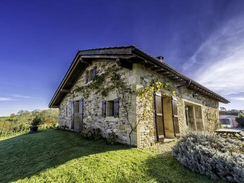
BERGERIE dans Village TYPIQUE. Trois ÉTOILES.
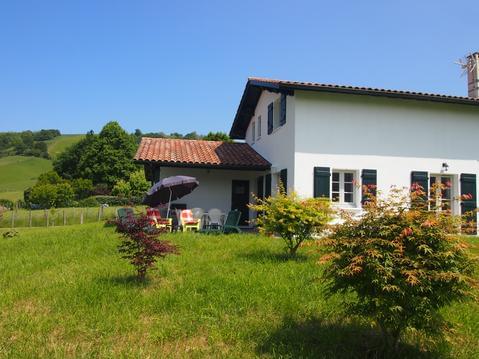
maison entre mer et montagne 4 étoiles 2020
appart 6 pers dans un cadre verdoyant linge fourni
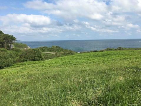
océan, montagne et campagne pour 4 personnes
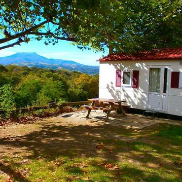
chalet mobile camping manex
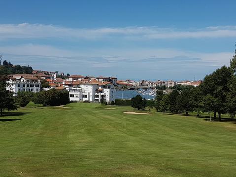
GREENS DE LA NIVELLE
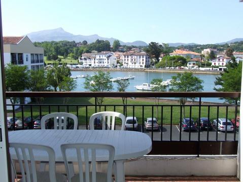
PLAGE ET CENTRE VILLE A PIED
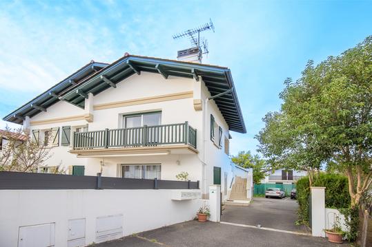
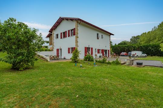
Appartement sur la côte basque

infos parcours (9)
Parking du
Cuvette
patte d' oie : à droite
En contrebas du rocher pointu
Arête rocheuse
Pied du sommet de l'Ibantelli
Sommet
orée du bois, B.F r39
Parking du Col de Lizarrieta
Thomas
Cartes associées
