
Au centre des mille étangs
- Thématique Famille
- Mis à jour le 24/11/2021
- Identifiant 1489603


|
durée / niveau
Rando pédestre
|
distance
16,3 km
type parcours
Boucle
|
|||||||||
|
Lieu de départ
Beulotte-saint-laurent
|
accessibilite
|
|||||||||
|
prestations payantes
Non
|
type(s) de sol
Graviers
Sable Terre Herbe Rochers |
|||||||||
description
Hébergements à proximité
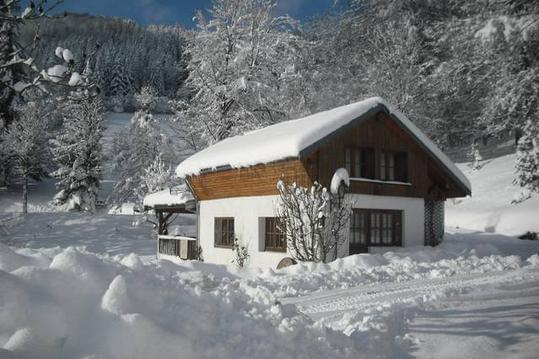
MINI-CHALET de montagne, Alt: 600 m.
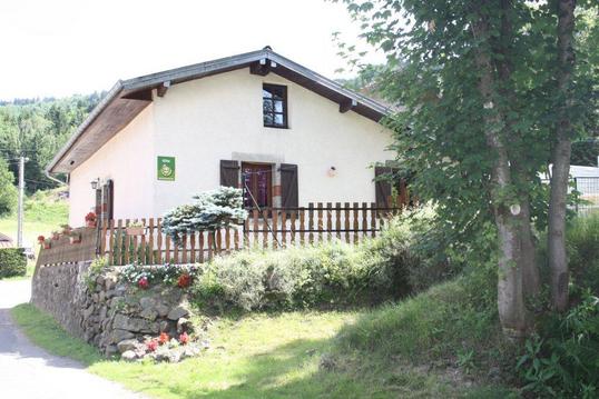
gite de la voie verte rupt sur moselle htes vosges
GRAND GÎTE F6 en PARC NATUREL près BALLON d'ALSACE
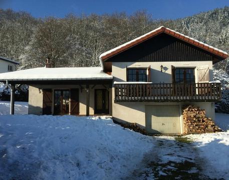
CHARMANT CHALET : Au Centre des HAUTES VOSGES
CHALET EN PLEINE NATURE VOGIENNE

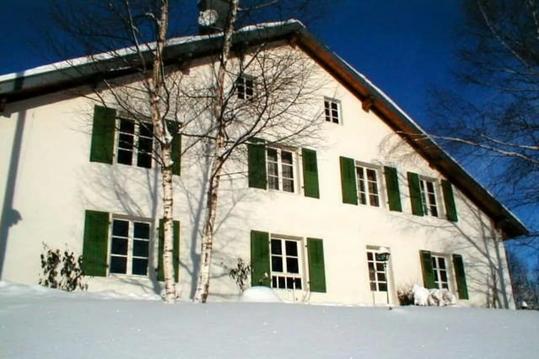
Le Daim 60 M2 pour 4 personnes
Le Refuge - Gîte atypique en Duplex
Le Brimbelle 50M2 pour 4 personnes

infos parcours (22)
Parking. Proche du
Parking
Chemin à gauche
Route forestière
La grande Rocholle
La Petite Rocholle
A la route, prendre en face
Route à droite
Carrefour avec parking
A droite vers les Breuchots
Sortie les Breuchots
Route à droite vers Frahy
Les Rouillons
A droite, le long d'un petit étang
A droite, à la patte d'oie
Chemin herbeux à droite
A gauche à la patte d'oie
A gauche vers le Grilloux
Panneau sentier de découverte
Au premier virage, sentier en face
sentier à gauche
à gauche
Jean-Marie
Cartes associées
