
TAVERS les eaux bleues
- Mis à jour le 27/11/2021
- Identifiant 1500611
Sélectionner le fond de carte

PLAN IGN

PHOTOS AERIENNES

CARTES IGN MULTI-ECHELLES

TOP 25 IGN

CARTES DES PENTES

PARCELLES CADASTRALES

CARTES OACI

CARTES 1950 IGN

CARTE DE L’ETAT-MAJOR (1820-1866)

Open Street Map
Afficher les points d'intérêt à proximité
Hébergements
Informations
Lieux d'intérêts
Producteurs
Restauration
Services et Commerces
Autre
Echelle
|
durée / niveau
Rando pédestre
|
distance
8,4 km
type parcours
Boucle
|
|||||||||
|
Lieu de départ
45190 Tavers
|
accessibilite
|
|||||||||
|
prestations payantes
Non
|
type(s) de sol
Terre
|
|||||||||
Hébergements à proximité


infos parcours (17)
1
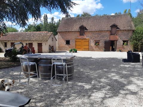
photo tour
Informations complémentaires
kilomètre
6,20
latitude
47.7604
altitude
97
m
longitude
1.60532
2
Parking église de Tavers
Informations complémentaires
kilomètre
0,01
latitude
47.7569
altitude
96
m
longitude
1.61489
3
tavers
Informations complémentaires
kilomètre
7,86
latitude
47.7555
altitude
81
m
longitude
1.61871
4
À gauche sur le large chemin transversal
Informations complémentaires
kilomètre
9,09
latitude
47.7552
altitude
82
m
longitude
1.62089
5
photo eaux bleues
Informations complémentaires
kilomètre
9,37
latitude
47.755
altitude
81
m
longitude
1.61796
6
photo lavoir
Informations complémentaires
kilomètre
9,61
latitude
47.7554
altitude
82
m
longitude
1.61495
7
À droite sur le chemin qui côtoie le Lien
Informations complémentaires
kilomètre
9,68
latitude
47.7556
altitude
83
m
longitude
1.61402
8
photo tavers
Informations complémentaires
kilomètre
9,99
latitude
47.7566
altitude
87
m
longitude
1.61092
9
À gauche lavoir sur le Lien
Informations complémentaires
kilomètre
10,38
latitude
47.7588
altitude
90
m
longitude
1.60691
10
Parking église de Tavers
Informations complémentaires
kilomètre
16,79
latitude
47.7569
altitude
95
m
longitude
1.61482
11
À gauche sur la rue transversale
Informations complémentaires
kilomètre
11,09
latitude
47.7626
altitude
95
m
longitude
1.60099
12
photo prunelle3
Informations complémentaires
kilomètre
11,88
latitude
47.7646
altitude
100
m
longitude
1.59065
13
photo chemin
Informations complémentaires
kilomètre
11,95
latitude
47.7648
altitude
99
m
longitude
1.59006
14
2 dolmen
Informations complémentaires
kilomètre
12,82
latitude
47.7681
altitude
106
m
longitude
1.58639
15
Carrefour de la boucle
Informations complémentaires
kilomètre
14,36
latitude
47.7662
altitude
103
m
longitude
1.59077
16
À gauche sitôt passé le pont
Informations complémentaires
kilomètre
15,52
latitude
47.7648
altitude
101
m
longitude
1.60525
17
À gauche rue du Pouet
Informations complémentaires
kilomètre
16,62
latitude
47.7578
altitude
93
m
longitude
1.61309
Thierry
Note moyenne
Cartes associées
