
Les Fourgs - Sentier des Bornes - Départ de la Haute Joux
- Mis à jour le 28/11/2021
- Identifiant 1501421


|
durée / niveau
Rando pédestre
|
distance
20,2 km
type parcours
Boucle
|
|||||||||
|
Lieu de départ
Les fourgs
|
accessibilite
|
|||||||||
|
prestations payantes
Non
|
type(s) de sol
Bitume
Graviers Terre Herbe Rochers |
|||||||||
Hébergements à proximité
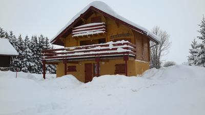
Grands Bois
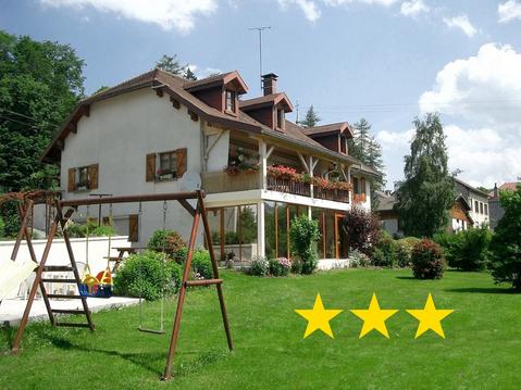
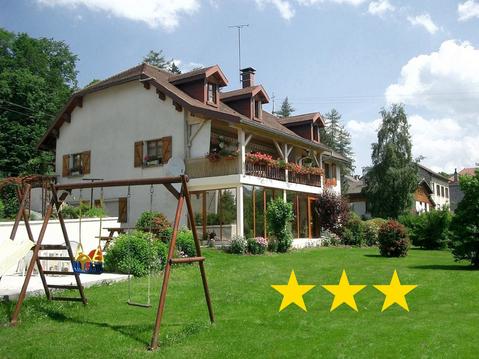
Gîte l'Althéa
"Au Doubs Moment"vue exceptionnelle et panoramique
Appartement dans une ancienne ferme
grand chalet tout confort 14 pers ht jura
Gîte 829 Montagnes du Jura avec Spa et Sauna 3*
Gîte 1804 Montagnes du Jura avec Spa et Sauna 3*
Gîte 295 Montagnes du Jura avec Spa et Sauna 3*

infos parcours (23)
La Haute Joux
La Haute Joux
Parking départ des pistes nordiques
D6 longer la route
Prendre à droite
Prendre à Gauche Direction La Beuffarde
La Bégaude, prendre à gauche
Prendre à droite en longeant la frontière Suisse
Borne 16 traverser la frontière à gauche
Passage canadien
Mur frontière
Suivre la route menant à la douane
Douane
Prendre le sentier à droite
Cabanne en bois rond
Vers chez Henri
Les Granges-Jaccard
Tournez à gauche
Mouille de la Vraconnaz à droite pour un A/R
Tournez à gauche
Les Trois Pierres
Prendre à droite
Prendre à gauche La Hautes Joux
EMMANUEL
Cartes associées
