
Guérande - Le Croisic
- Mis à jour le 01/03/2022
- Identifiant 1524284
Sélectionner le fond de carte

PLAN IGN

PHOTOS AERIENNES

CARTES IGN MULTI-ECHELLES

TOP 25 IGN

CARTES DES PENTES

PARCELLES CADASTRALES

CARTES OACI

CARTES 1950 IGN

CARTE DE L’ETAT-MAJOR (1820-1866)

Open Street Map
Afficher les points d'intérêt à proximité
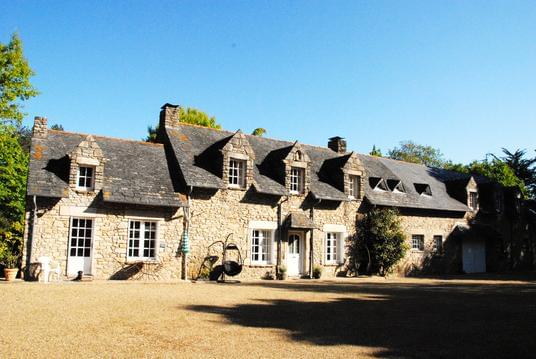
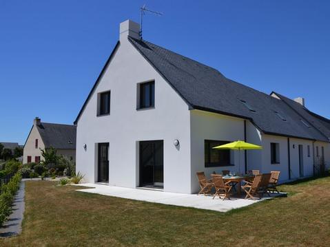
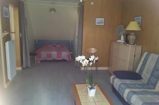
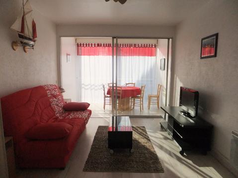
Hébergements
Informations
Lieux d'intérêts
Producteurs
Restauration
Services et Commerces
Autre
Echelle
|
durée / niveau
Rando pédestre
|
distance
17,5 km
type parcours
Aller Simple
|
|||||||||
|
Lieu de départ
44350 Guérande
|
accessibilite
|
|||||||||
|
prestations payantes
Non
|
type(s) de sol
Bitume
Graviers Terre |
|||||||||
Hébergements à proximité

infos parcours (7)
1
44350 Guérande
1
Informations complémentaires
44350 Guérande
kilomètre
5,94
latitude
47.291
altitude
2
m
longitude
-2.43914
2
44510 Le Pouliguen
2
Informations complémentaires
44510 Le Pouliguen
kilomètre
8,14
latitude
47.2745
altitude
5
m
longitude
-2.44175
3
44740 Batz-sur-Mer
3
Informations complémentaires
44740 Batz-sur-Mer
kilomètre
10,12
latitude
47.2779
altitude
6
m
longitude
-2.46583
4
44740 Batz-sur-Mer
4
Informations complémentaires
44740 Batz-sur-Mer
kilomètre
10,67
latitude
47.2752
altitude
11
m
longitude
-2.47098
5
44740 Batz-sur-Mer
5
Informations complémentaires
44740 Batz-sur-Mer
kilomètre
12,81
latitude
47.2765
altitude
8
m
longitude
-2.49291
6
44490 Le Croisic
6
Informations complémentaires
44490 Le Croisic
kilomètre
14,38
latitude
47.2825
altitude
6
m
longitude
-2.50729
7
44350 Guérande
7
Informations complémentaires
44350 Guérande
kilomètre
32,26
latitude
47.314
altitude
6
m
longitude
-2.43871
MIKAEL
Note moyenne
Cartes associées
