
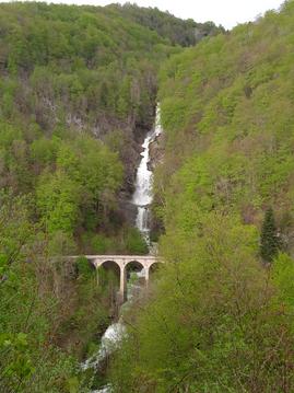
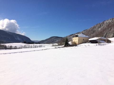
Circuit découverte de la Bienne
- Mis à jour le 08/02/2022
- Identifiant 1564095


|
durée / niveau
Rando pédestre
|
distance
3,1 km
type parcours
Boucle
|
|||||||||
|
Lieu de départ
39400 Hauts de Bienne
|
accessibilite
|
|||||||||
|
prestations payantes
Non
|
type(s) de sol
|
|||||||||
Hébergements à proximité
salave de bise
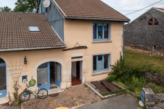
Gîte Emilie, la nature à votre porte
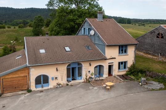
Gîte Fenoula, la nature à votre porte
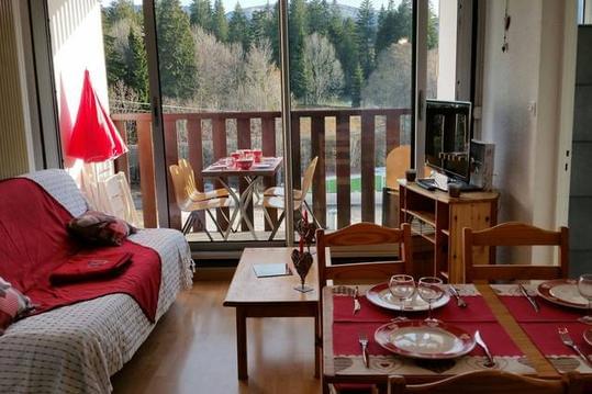
Joli appartement plein sud
CHALET DOUBLE MADRIER GITE SPORTIF ET VACANCIERS
Gite Chalet Chardon Bleu avec sauna, pour 8 pers.
Gite de groupe Jura tout confort
Appartement 6 personnes au coeur du Haut Jura

infos parcours (5)
Les Essarts Morez
Les Pêcheurs
Viaduc du Saillard
Doye Gabet
Le Trou Bleu
Delphine
Cartes associées
