
53 Val de Mayenne et de l'Aron 12 kms
- Mis à jour le 27/03/2022
- Identifiant 1622258
Sélectionner le fond de carte

PLAN IGN

PHOTOS AERIENNES

CARTES IGN MULTI-ECHELLES

TOP 25 IGN

CARTES DES PENTES

PARCELLES CADASTRALES

CARTES OACI

CARTES 1950 IGN

CARTE DE L’ETAT-MAJOR (1820-1866)

Open Street Map
Afficher les points d'intérêt à proximité
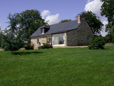
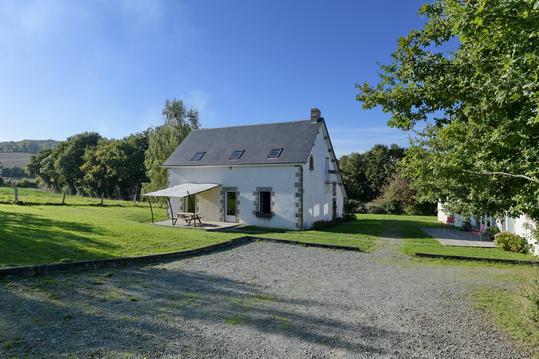
Hébergements
Informations
Lieux d'intérêts
Producteurs
Restauration
Services et Commerces
Autre
Echelle
|
durée / niveau
Rando pédestre
|
distance
12,0 km
type parcours
Boucle
|
|||||||||
|
Lieu de départ
53100 Moulay
|
accessibilite
|
|||||||||
|
prestations payantes
Non
|
type(s) de sol
Bitume
Terre |
|||||||||
description
D/A Parking stade Moulay / Opidum
Hébergements à proximité

infos parcours (17)
1
Route, à gauche
Informations complémentaires
kilomètre
5,81
latitude
48.2655
altitude
118
m
longitude
-0.622743
2
Parking stade de football
Informations complémentaires
kilomètre
0,01
latitude
48.2731
altitude
113
m
longitude
-0.62792
3
Début de la fin
Informations complémentaires
kilomètre
11,58
latitude
48.2745
altitude
82
m
longitude
-0.629282
4
À droite, direction Beau Rivage
Informations complémentaires
kilomètre
13,37
latitude
48.2813
altitude
108
m
longitude
-0.625588
5
Passage sous rocade
Informations complémentaires
kilomètre
13,85
latitude
48.281
altitude
120
m
longitude
-0.620052
6
Piste d'entraînement
Informations complémentaires
kilomètre
15,42
latitude
48.2779
altitude
118
m
longitude
-0.607747
7
La Monnerie, chemin à gauche
Informations complémentaires
kilomètre
15,85
latitude
48.2743
altitude
121
m
longitude
-0.609021
8
Chemin rural à gauche
Informations complémentaires
kilomètre
17,35
latitude
48.2617
altitude
130
m
longitude
-0.612149
9
La Hucherie
Informations complémentaires
kilomètre
18,19
latitude
48.2653
altitude
121
m
longitude
-0.621685
10
Parking du stade de football
Informations complémentaires
kilomètre
24,07
latitude
48.2731
altitude
113
m
longitude
-0.627925
11
Passage sous la rocade
Informations complémentaires
kilomètre
18,56
latitude
48.2677
altitude
96
m
longitude
-0.623169
12
Passage piétons
Informations complémentaires
kilomètre
19,31
latitude
48.2626
altitude
127
m
longitude
-0.629164
13
Chemin herbeux à droite
Informations complémentaires
kilomètre
19,84
latitude
48.261
altitude
120
m
longitude
-0.63575
14
Le Haut Mont
Informations complémentaires
kilomètre
20,26
latitude
48.2612
altitude
124
m
longitude
-0.639632
15
Voie carrossable à gauche
Informations complémentaires
kilomètre
21,28
latitude
48.26
altitude
82
m
longitude
-0.652628
16
Chemin du hallage
Informations complémentaires
kilomètre
23,87
latitude
48.2743
altitude
83
m
longitude
-0.629295
17
Le chemin de la métairie
Informations complémentaires
kilomètre
24,03
latitude
48.2736
altitude
110
m
longitude
-0.627984

