
HRP2 Aldudes (Urepel) (Ronceveaux) (Cabane d'Azpegi) Iraty
- Thématique Montagne
- Mis à jour le 02/06/2022
- Identifiant 1627348
Sélectionner le fond de carte

PLAN IGN

PHOTOS AERIENNES

CARTES IGN MULTI-ECHELLES

TOP 25 IGN

CARTES DES PENTES

PARCELLES CADASTRALES

CARTES OACI

CARTES 1950 IGN

CARTE DE L’ETAT-MAJOR (1820-1866)

Open Street Map
Afficher les points d'intérêt à proximité
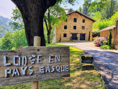
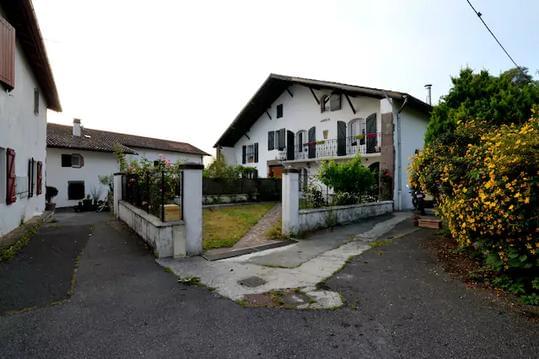
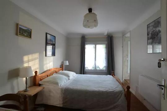
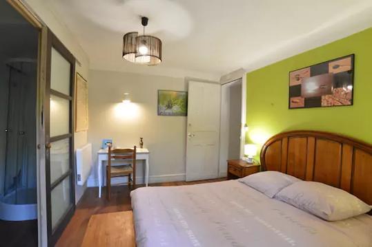
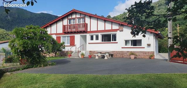
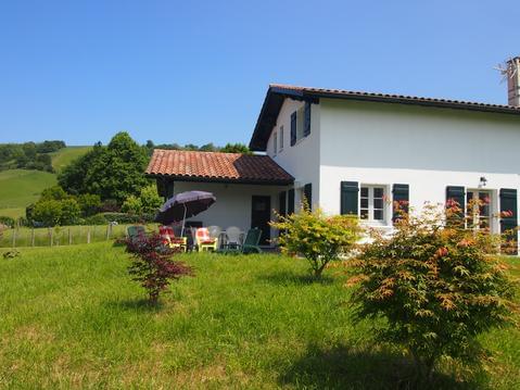
Hébergements
Informations
Lieux d'intérêts
Producteurs
Restauration
Services et Commerces
Autre
Echelle
|
durée / niveau
Rando pédestre
|
distance
62,9 km
type parcours
Boucle
|
|||||||||
|
Lieu de départ
64430 Aldudes
|
accessibilite
|
|||||||||
|
prestations payantes
Non
|
type(s) de sol
Bitume
Graviers Terre Herbe Rochers |
|||||||||
|
Mots clés
HRP
|
||||||||||
description
HRP pays basque espagnol
Hébergements à proximité

Points d'interêt (13)
A
64430 Urepel
Voir la fiche du point d'intéret »
Robinet Col D'Auzarai
Chute d'eau
Informations complémentaires
64430 Urepel
kilomètre
10,06
latitude
43.0469
altitude
965
m
longitude
-1.37134
à proximité
B
Voir la fiche du point d'intéret »
Refugio de Cazadores
Refuge
Informations complémentaires
kilomètre
13,66
latitude
43.0266
altitude
1214
m
longitude
-1.35276
à proximité
C
Voir la fiche du point d'intéret »
IZANDORRE Aterpea Refugio
Refuge
Informations complémentaires
kilomètre
21,22
latitude
43.0375
altitude
1303
m
longitude
-1.28866
à proximité
D
64220 Arnéguy
Voir la fiche du point d'intéret »
Fontaine de Roland
Chute d'eau
Informations complémentaires
64220 Arnéguy
kilomètre
23,62
latitude
43.0468
altitude
1323
m
longitude
-1.26441
à proximité
E
Voir la fiche du point d'intéret »
Dolmen de Soroluze
Histoires et légendes
Informations complémentaires
kilomètre
26,41
latitude
43.0361
altitude
1201
m
longitude
-1.238
F
Voir la fiche du point d'intéret »
Refuge d'Azpegi
Hébergements divers
Accès : Cabane située non-loin de la HRP et située en bord de route.
Informations complémentaires
kilomètre
28,16
latitude
43.0323
altitude
1000
m
longitude
-1.2273
K
64220 Lecumberry
Voir la fiche du point d'intéret »
cromlech d'Ilarrita
Histoires et légendes
Informations complémentaires
64220 Lecumberry
kilomètre
78,01
latitude
43.0425
altitude
1378
m
longitude
-1.11022
L
64220 Lecumberry
Voir la fiche du point d'intéret »
source avec tuyau col Oraaté
Chute d'eau
Informations complémentaires
64220 Lecumberry
kilomètre
75,95
latitude
43.0269
altitude
1303
m
longitude
-1.11138
à proximité
M
64220 Estérençuby
Voir la fiche du point d'intéret »
Cromlech de Orgambide
Histoires et légendes
Informations complémentaires
64220 Estérençuby
kilomètre
94,52
latitude
43.0498
altitude
988
m
longitude
-1.21232
N
64220 Mendive
Voir la fiche du point d'intéret »
Chalet Pedro Iraty
Restaurants / Brasserie
Informations complémentaires
64220 Mendive
kilomètre
69,94
latitude
43.037
altitude
989
m
longitude
-1.07473
à proximité
O
Voir la fiche du point d'intéret »
Refugio de Azpegi
Hébergements divers
Informations complémentaires
kilomètre
95,19
latitude
43.045
altitude
1002
m
longitude
-1.215
P
64220 Estérençuby
Voir la fiche du point d'intéret »
Bergerie Cayolar d'Elusaro
Produit de la ferme
Informations complémentaires
64220 Estérençuby
kilomètre
91,68
latitude
43.0381
altitude
856
m
longitude
-1.18693
à proximité
Q
64220 Estérençuby
Voir la fiche du point d'intéret »
Cabane d'Helhursaro
Refuge
Informations complémentaires
64220 Estérençuby
kilomètre
90,73
latitude
43.0405
altitude
737
m
longitude
-1.18384
à proximité
Juliette
Note moyenne
Cartes associées
