
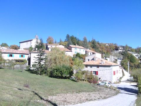
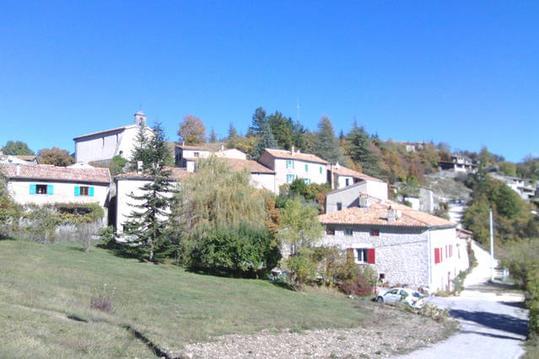
Archiane , cirque d'Archiane , Jardin du Roi
- Thématique Montagne
- Mis à jour le 10/04/2022
- Identifiant 1638842
Sélectionner le fond de carte

PLAN IGN

PHOTOS AERIENNES

CARTES IGN MULTI-ECHELLES

TOP 25 IGN

CARTES DES PENTES

PARCELLES CADASTRALES

CARTES OACI

CARTES 1950 IGN

CARTE DE L’ETAT-MAJOR (1820-1866)

Open Street Map
Afficher les points d'intérêt à proximité
Hébergements
Informations
Lieux d'intérêts
Producteurs
Restauration
Services et Commerces
Autre
Echelle
|
durée / niveau
Rando pédestre
|
distance
29,4 km
type parcours
|
|||||||||
|
Lieu de départ
26410 Treschenu-Creyers
|
accessibilite
|
|||||||||
|
prestations payantes
Non
|
type(s) de sol
Terre
Herbe Rochers |
|||||||||
description
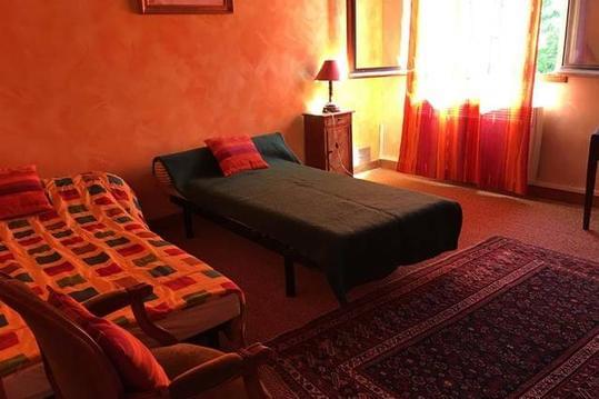
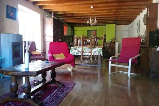
Hébergements à proximité

infos parcours (13)
1
Parking
Informations complémentaires
kilomètre
0,00
latitude
44.7454
altitude
761
m
longitude
5.50703
2
Archiane
Informations complémentaires
kilomètre
0,51
latitude
44.7464
altitude
772
m
longitude
5.50421
3
Archiane chemin des grands espaces
Informations complémentaires
kilomètre
0,53
latitude
44.7465
altitude
774
m
longitude
5.50408
4
Intersection GR93 / sentier découverte
Informations complémentaires
kilomètre
1,81
latitude
44.7529
altitude
995
m
longitude
5.49241
5
Carrefour des Quatre chemins de l'Aubaise
Informations complémentaires
kilomètre
4,23
latitude
44.7705
altitude
1408
m
longitude
5.48162
6
Intersection
Informations complémentaires
kilomètre
4,69
latitude
44.7712
altitude
1583
m
longitude
5.48594
7
Ancienne Jasse du jardin du roi
Informations complémentaires
kilomètre
6,55
latitude
44.7778
altitude
1641
m
longitude
5.5042
8
Point de vue sur Archiane
Informations complémentaires
kilomètre
10,74
latitude
44.7545
altitude
1679
m
longitude
5.52231
9
Hameau de Tussac
Informations complémentaires
kilomètre
12,74
latitude
44.7434
altitude
1561
m
longitude
5.53038
10
Intersection piste-chemin
Informations complémentaires
kilomètre
14,36
latitude
44.7364
altitude
1334
m
longitude
5.53461
11
Jonction GR93
Informations complémentaires
kilomètre
15,66
latitude
44.7305
altitude
1106
m
longitude
5.53045
12
Route D224
Informations complémentaires
kilomètre
18,05
latitude
44.7415
altitude
744
m
longitude
5.50941
13
Parking
Informations complémentaires
kilomètre
58,73
latitude
44.7454
altitude
762
m
longitude
5.50711
Denis
Note moyenne
Cartes associées
