
Lac de Bastampe 2019m
- Mis à jour le 25/05/2022
- Identifiant 1695172


|
durée / niveau
Rando pédestre
|
distance
12,6 km
type parcours
Aller/Retour
|
|||||||||
|
Lieu de départ
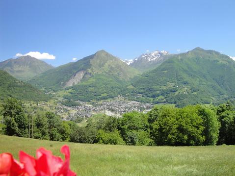
65120 Sazos
|
accessibilite
|
|||||||||
|
prestations payantes
Non
|
type(s) de sol
Terre
Herbe Rochers |
|||||||||
Hébergements à proximité
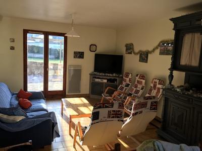
Appartement de charme - paysage "Le Marboré"

Grange chaleureuse avec jacuzzi
Appartement en rez de jardin, classé 3 étoiles
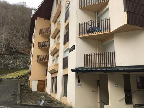
BELLEVUE appartement vue montagne
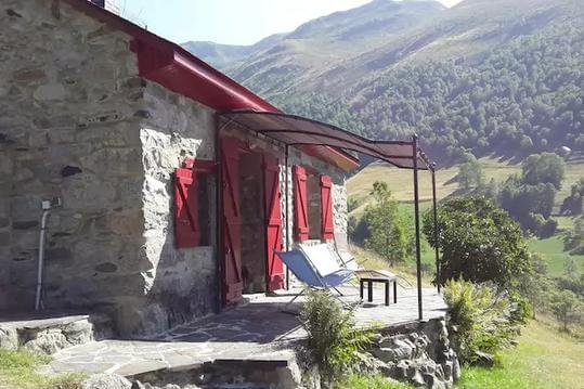
Chalet dans village entre Tourmalet et Gavarnie
la Lountère
Location grande maison tout confort
Studio Barèges idéal ski, randonnées et cure

infos parcours (8)
Attention !
Bifurcation
Cabane D Estarous
Choix
Depart
Lac de Bastampe
Pylone
Pylone-
Bruno
Cartes associées
