
Mondarrain, Artzamendi, Bidarray
- Thématique Montagne
- Mis à jour le 25/05/2022
- Identifiant 1695409


|
durée / niveau
Rando pédestre
|
distance
31,4 km
type parcours
Boucle
|
|||||||||
|
Lieu de départ
64250 Itxassou
|
accessibilite
|
|||||||||
|
prestations payantes
Non
|
type(s) de sol
Herbe
Rochers |
|||||||||
description
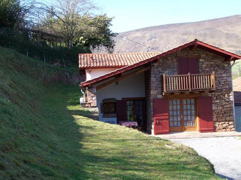
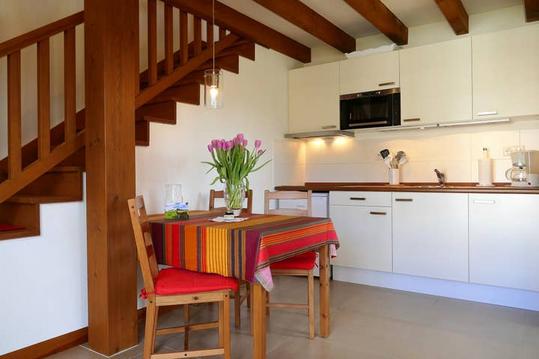
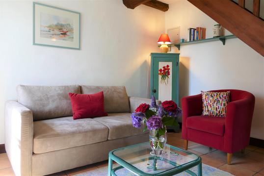
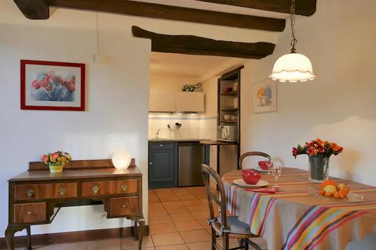
Hébergements à proximité
Au Pays basque, gite entre mer et montagne
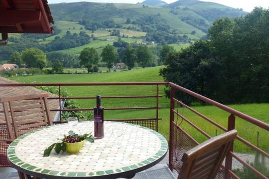
Gite 2 personnes à Itxassou au Pays Basque
Mondarrain 3* au BaskoParadis
Ursuya 3* au BaskoParadis
Artzamendi 3* au BaskoParadis
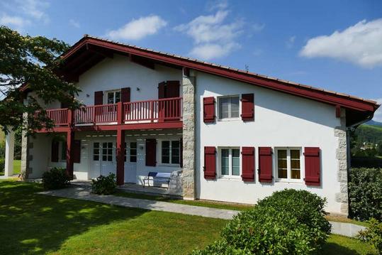
Baigura 3* au BaskoParadis
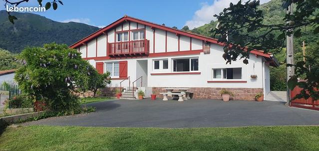
A 15 min d'Espelette, gîte neuf à la campagne
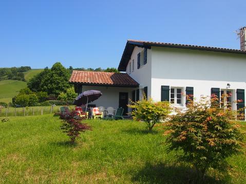
maison entre mer et montagne 4 étoiles 2020

infos parcours (5)
louis
Cartes associées
