
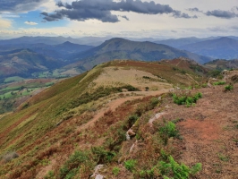
Le Larla depuis Satali
- Thématique Randonnée
- Mis à jour le 20/12/2022
- Identifiant 1720029
Sélectionner le fond de carte

PLAN IGN

PHOTOS AERIENNES

CARTES IGN MULTI-ECHELLES

TOP 25 IGN

CARTES DES PENTES

PARCELLES CADASTRALES

CARTES OACI

CARTES 1950 IGN

CARTE DE L’ETAT-MAJOR (1820-1866)

Open Street Map
Afficher les points d'intérêt à proximité
Hébergements
Informations
Lieux d'intérêts
Producteurs
Restauration
Services et Commerces
Autre
Echelle
|
durée / niveau
Rando pédestre
|
distance
9,3 km
type parcours
Boucle
|
|||||||||
|
Lieu de départ
64780 Saint-Martin-d'Arrossa
|
accessibilite
|
|||||||||
|
prestations payantes
Non
|
type(s) de sol
Terre
Herbe Rochers |
|||||||||
Photos & vidéos (1)
|
description
Cette randonnée partant de Satali évite la grande montée depuis Saint-Martin-d'Arrossa. On profite du sentier pour s'instruire sur l'activité minière qu'il y avait en ces lieux et on bénéficie d'une superbe vue sur les sommets environnants.
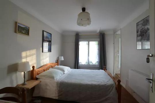
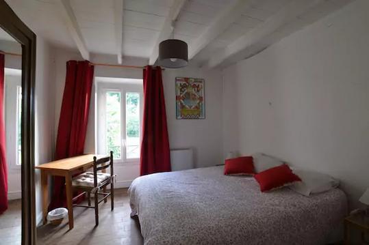
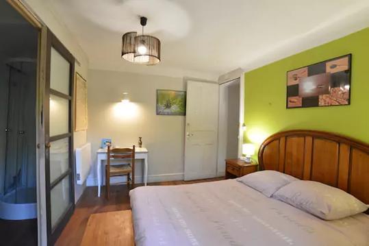
Hébergements à proximité

infos parcours (10)
1
Parking de Satali
Informations complémentaires
kilomètre
0,00
latitude
43.2432
altitude
316
m
longitude
-1.3217
2
Carrefour de la boucle
Informations complémentaires
kilomètre
1,00
latitude
43.2406
altitude
436
m
longitude
-1.33085
3
Ruines.
Informations complémentaires
kilomètre
1,36
latitude
43.2381
altitude
436
m
longitude
-1.33209
4
Carrefour sentier
Informations complémentaires
kilomètre
1,72
latitude
43.2361
altitude
490
m
longitude
-1.33203
5
Carrefour de pistes
Informations complémentaires
kilomètre
3,55
latitude
43.226
altitude
430
m
longitude
-1.32891
6
Harotzaeneko Borda
Informations complémentaires
kilomètre
4,44
latitude
43.2245
altitude
541
m
longitude
-1.33364
7
Carrefour piste - sentier
Informations complémentaires
kilomètre
5,64
latitude
43.2338
altitude
636
m
longitude
-1.3371
8
Carrefour piste - sentier
Informations complémentaires
kilomètre
7,52
latitude
43.2459
altitude
466
m
longitude
-1.3314
9
Aller à gauche.
Informations complémentaires
kilomètre
8,21
latitude
43.2406
altitude
448
m
longitude
-1.33148
10
Parking de Satali
Informations complémentaires
kilomètre
18,52
latitude
43.2432
altitude
316
m
longitude
-1.32176

