
Soques - Pic Arriel
- Mis à jour le 01/07/2022
- Identifiant 1748217


|
durée / niveau
Rando pédestre
|
distance
12,7 km
type parcours
Boucle
|
|||||||||
|
Lieu de départ
64440 Laruns
|
accessibilite
|
|||||||||
|
prestations payantes
Non
|
type(s) de sol
|
|||||||||
Hébergements à proximité
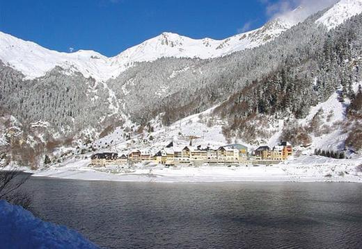
Fario 37 locations du samedi au samedi.

Fario 20 location du samedi au samedi
Appartement cocooning proche randonnées et ski
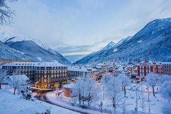
T2 plein cœur de cauterets
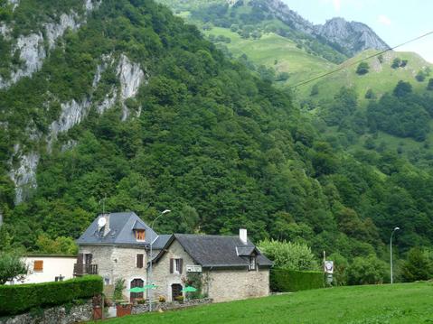
Maison de vacances " La Cavalière"

Ascendance gîte Gîte pour volatiles... et autre
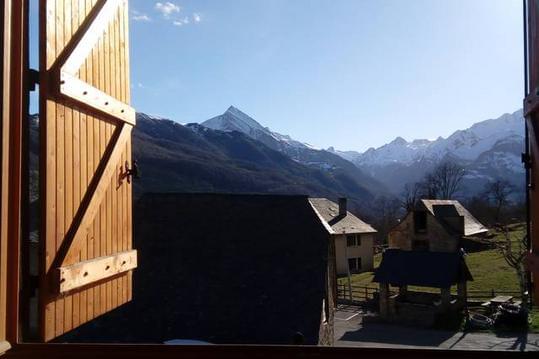
vacances, ski, cure, week-end
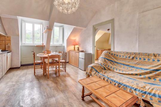
Au nid du gypaéte (oiseau local)

infos parcours (8)
Caillou-de-Soques-1390m
Col d'Ariel 2608m
Col D'Arrious 2259m
Col de Sobe 2449m
Croisement 2050m
Grand-Pic-d-Arriel (2824m)
Lac D´Arrious
Petit-Pic-Arriel-2683m
Xavier
Cartes associées
